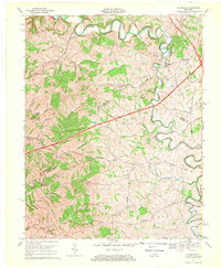
1967 Map of Mc Brayer
USGS Topo · Published 1969About this map
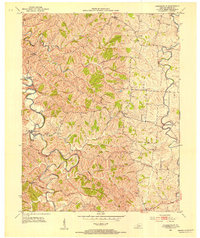
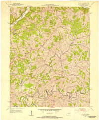
The Salt River carves a winding path across this landscape, defining the rural character of the border between Anderson and Mercer counties. This late-1960s snapshot captures the region during a period of infrastructure modernization, most notably the path of the Blue Grass Parkway slicing through the traditional agricultural grid. Small settlements like McBrayer and Dugansville remain central to the local geography, while a series of country churches, including Goshen Ch and Mt Hebron Ch, serve as anchors for the surrounding farmsteads.
Find a feature on this map
37 named features on this map. Tap any name to fly to it.
Don’t see what you’re looking for? This feature index may not catch every label — zoom into the map to look around manually.
Map Details
Editions of this 1967 Mc Brayer Map
This is the sole edition of this map. No revisions or reprints were ever made.
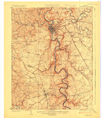
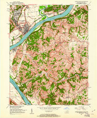
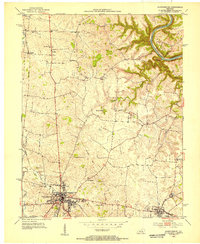
Other maps of this area

1905 · Harrodsburg
USGS Topo · 1:125,000

1922 · Frankfort
USGS Topo · 1:48,000

1923 · Waddy
USGS Topo · 1:48,000
1924 · Frankfort
USGS Topo · 1:62,500

1925 · Mount Eden
USGS Topo · 1:48,000

1927 · Mount Eden
USGS Topo · 1:62,500
1951 · Lawrenceburg
USGS Topo · 1:24,000
1952 · Harrodsburg
USGS Topo · 1:24,000
1952 · Cornishville
USGS Topo · 1:24,000
1952 · Ashbrook
USGS Topo · 1:24,000