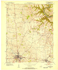
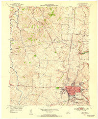
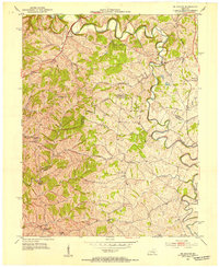
1952 Map of Harrodsburg
USGS Topo · Published 1953About this map
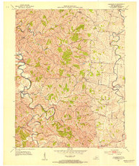
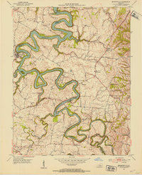
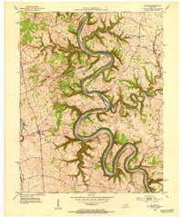
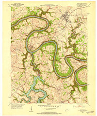
Harrodsburg serves as the focal point of this 1952 study, a historic Mercer County seat where the preservation of Kentucky's frontier roots is evident at Pioneer Memorial State Park and the reconstructed Fort Harrod. The landscape transitions from the urban grid of the town center to a rolling agricultural countryside defined by the deep meander of the Kentucky River along the northeastern boundary. The era's transportation network is anchored by the Southern railroad, which links the city to the smaller community of Burgin to the southeast.
Find a feature on this map
28 named features on this map. Tap any name to fly to it.
Don’t see what you’re looking for? This feature index may not catch every label — zoom into the map to look around manually.
Map Details
Editions of this 1952 Harrodsburg Map
This is the sole edition of this map. No revisions or reprints were ever made.
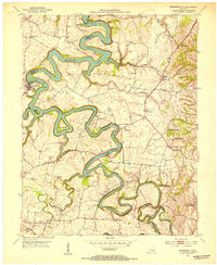
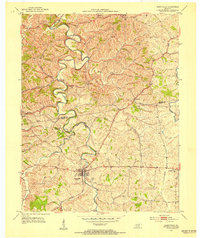
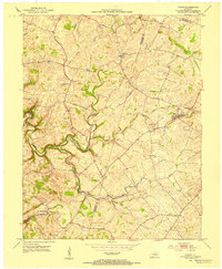
Other maps of this area

1905 · Harrodsburg
USGS Topo · 1:125,000
1950 · Bryantsville
USGS Topo · 1:24,000
1952 · Perryville
USGS Topo · 1:24,000
1952 · Keene
USGS Topo · 1:24,000
1952 · Danville
USGS Topo · 1:24,000
1952 · Cornishville
USGS Topo · 1:24,000
1952 · Bryantsville
USGS Topo · 1:24,000
1952 · Salvisa
USGS Topo · 1:24,000
1952 · Mc Brayer
USGS Topo · 1:24,000
1952 · Wilmore
USGS Topo · 1:24,000