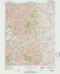
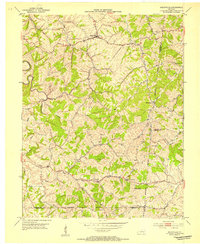
1952 Map of Cornishville
USGS Topo · Published 1976About this map
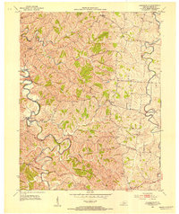
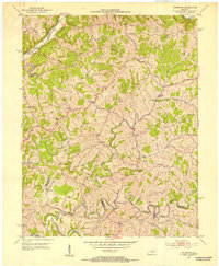
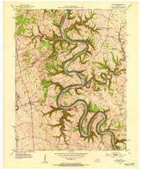
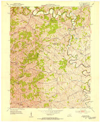
Cornishville sits at the heart of this landscape, positioned along the winding banks of the Chaplin River as it carves through the central Kentucky countryside. The settlement patterns of the early 1950s are clearly visible, anchored by small rural communities like Mayo, Bohon, and Bushtown. This region is defined by a dense network of watercourses, where Indian Creek and Thompson Creek flow into larger arteries, shaping the roads and farm boundaries of Mercer County. Local social life is marked by several country churches, including Hopewell Ch and Calvary Ch, which served as the primary gathering points for these scattered farmsteads. The eastern edge of the map is dominated by the Salt River, showing the natural drainage patterns that have influenced agriculture and land use in this part of the Bluegrass region for generations.
Find a feature on this map
18 named features on this map. Tap any name to fly to it.
Don’t see what you’re looking for? This feature index may not catch every label — zoom into the map to look around manually.
Map Details
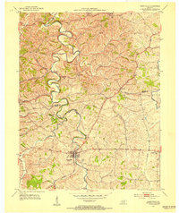
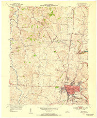
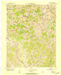
Editions of this 1952 Cornishville Map
2 editions found
Other maps of this area

1905 · Harrodsburg
USGS Topo · 1:125,000
1952 · Perryville
USGS Topo · 1:24,000
1952 · Danville
USGS Topo · 1:24,000
1952 · Harrodsburg
USGS Topo · 1:24,000
1952 · Cornishville
USGS Topo · 1:24,000
1952 · Ashbrook
USGS Topo · 1:24,000
1952 · Salvisa
USGS Topo · 1:24,000
1952 · Mc Brayer
USGS Topo · 1:24,000
1953 · Mackville
USGS Topo · 1:24,000
1953 · Cardwell
USGS Topo · 1:24,000