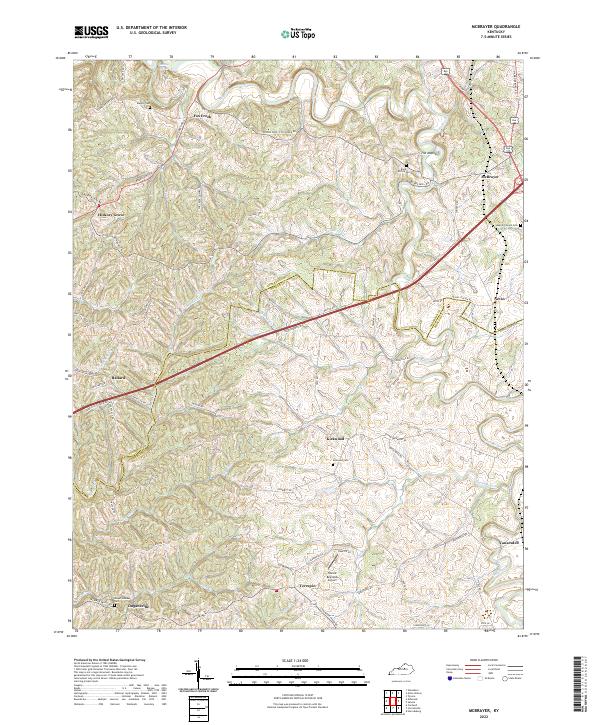
2022 Map of McBrayer
USGS Topo · Published 2022About this map
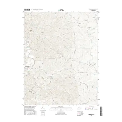
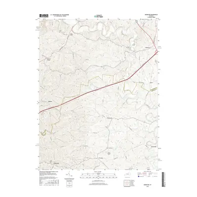
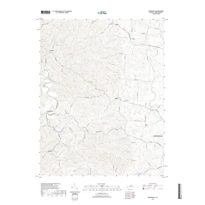
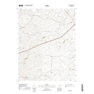
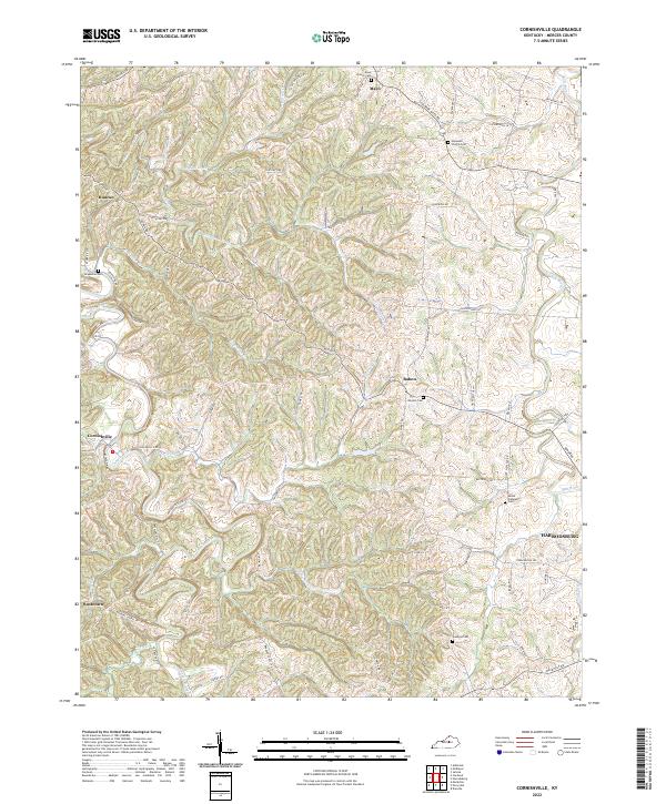
The Salt River winds through the Kentucky landscape where the Anderson Co Mercer Co boundary line divides a network of rural hamlets and family farmsteads. This 2022 survey documents the enduring settlement patterns of McBrayer and Fox Creek in the north, while smaller points like Kirkwood and Dugansville anchor the southern portion of the sheet. The terrain is deeply carved by watercourses such as Cheese Lick and Hickorynut Cr, leaving distinctive topographic features like The Mound standing above the drainage basins.
Find a feature on this map
70 named features on this map. Tap any name to fly to it.
Don’t see what you’re looking for? This feature index may not catch every label — zoom into the map to look around manually.
Map Details
Editions of this 2022 McBrayer Map
This is the sole edition of this map. No revisions or reprints were ever made.
Historical Maps of McBrayer Through Time
13 maps found
1952 Cornishville
Mercer County, KY
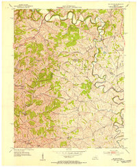
1952 Mc Brayer
Mercer County, KY
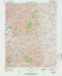
1967 Mc Brayer
Mercer County, KY
2010 Cornishville
Mercer County, KY
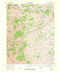
2010 McBrayer
Mercer County, KY
2013 Cornishville
Mercer County, KY
2013 McBrayer
Mercer County, KY
2016 Cornishville
Mercer County, KY
2016 McBrayer
Mercer County, KY
2019 Cornishville
Mercer County, KY
2019 McBrayer
Mercer County, KY
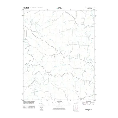
2022 Cornishville
Mercer County, KY
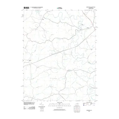
2022 McBrayer
Mercer County, KY