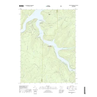
2019 Map of Cornplanter Bridge
USGS Topo · Published 2019About this map
The Allegheny Reservoir dominates this portion of the Allegheny National Forest, creating a landscape defined by deep water inlets like Kinzua Bay and Chappel Bay. The modern geography is shaped by the flooding of the valley, with the Cornplanter Bridge spanning the water to connect the northern shores. Recreational and scenic features are prominent throughout the terrain, including Jakes Rocks and Coal Knob, alongside an extensive network of trails such as the N Country National Scenic Trail and Morrison Hiking loops.
Find a feature on this map
67 named features on this map. Tap any name to fly to it.
Don’t see what you’re looking for? This feature index may not catch every label — zoom into the map to look around manually.
Map Details
Editions of this 2019 Cornplanter Bridge Map
This is the sole edition of this map. No revisions or reprints were ever made.
Other maps of this area

1906 · Warren
USGS Topo · 1:62,500

1907 · Warren
USGS Topo · 1:62,500

1908 · Warren
USGS Topo · 1:62,500

1934 · Kane
USGS Topo · 1:48,000

1935 · Sheffield
USGS Topo · 1:48,000

1936 · Kinzua
USGS Topo · 1:48,000

1939 · Kane
USGS Topo · 1:62,500

1941 · Sheffield
USGS Topo · 1:62,500

1941 · Kinzua
USGS Topo · 1:62,500
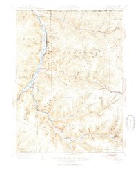
1949 · Kinzua
USGS Topo · 1:62,500
Featured Places
- Sheffield Township, PA
- Corydon Township, PA
- Glade Township, PA
- Elijah, Hamilton Township
- Mead Township, PA