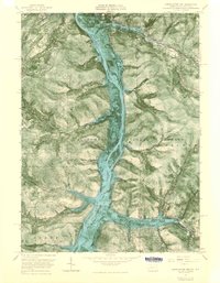
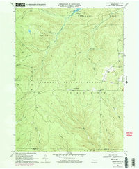
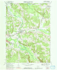
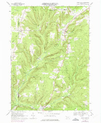
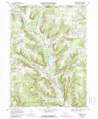
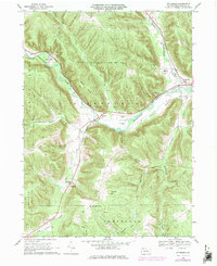
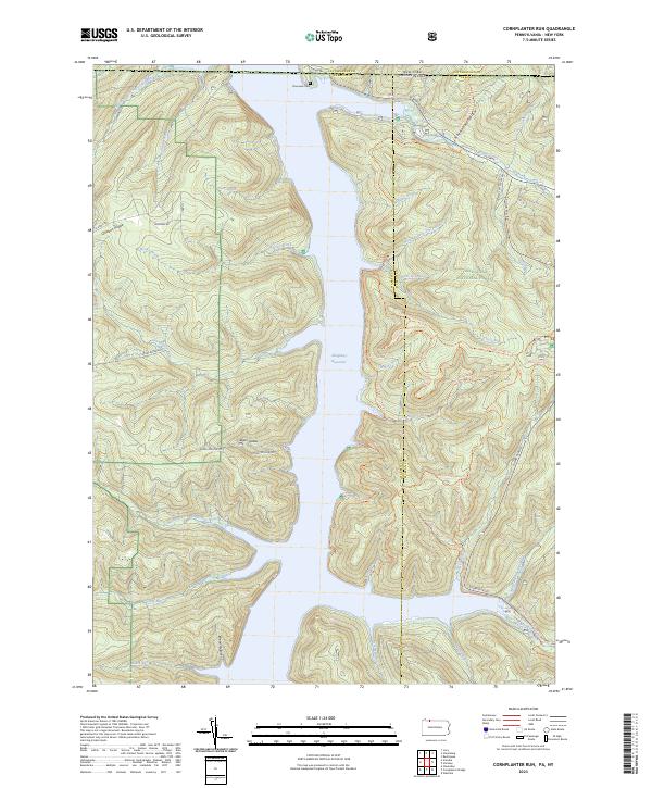
1966 Map of Cornplanter Run
USGS Topo · Published 1968About this map
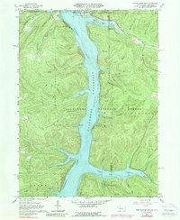
The Allegheny Reservoir dominates this landscape on the border of Pennsylvania and New York, shown here just as the waters were rising following the completion of the Kinzua Dam. This experimental orthophotomap combines traditional topographic contours with aerial photography, capturing the flooded valley and the numerous inlets like Willow Bay, Sugar Bay, and Roper Hollow that reshaped the region.
Find a feature on this map
48 named features on this map. Tap any name to fly to it.
Don’t see what you’re looking for? This feature index may not catch every label — zoom into the map to look around manually.
Map Details
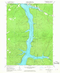
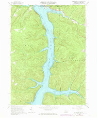
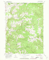
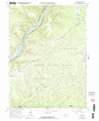
Editions of this 1966 Cornplanter Run Map
4 editions found
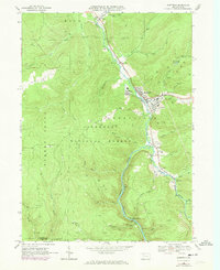
Historical Maps of Coldspring Through Time
21 maps found

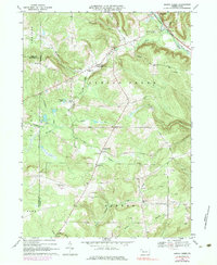
1947 Cherry Grove
Warren County, PA
1954 Scandia
Warren County, PA
1966 Cherry Grove
Warren County, PA
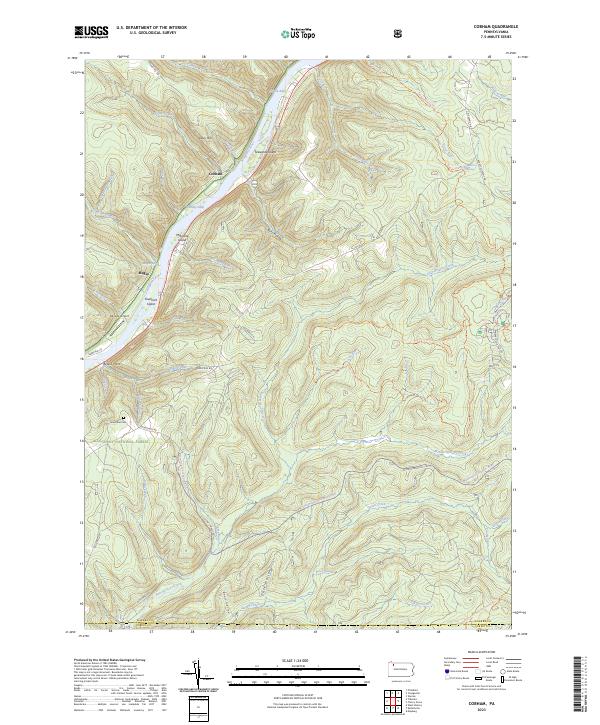
1966 Cobham
Warren County, PA
1966 Cornplanter Run
Warren County, PA
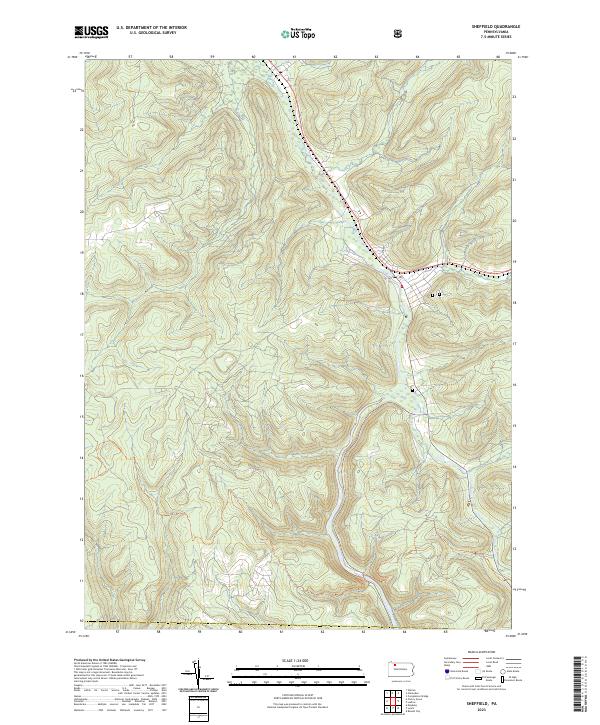
1966 Sheffield
Warren County, PA
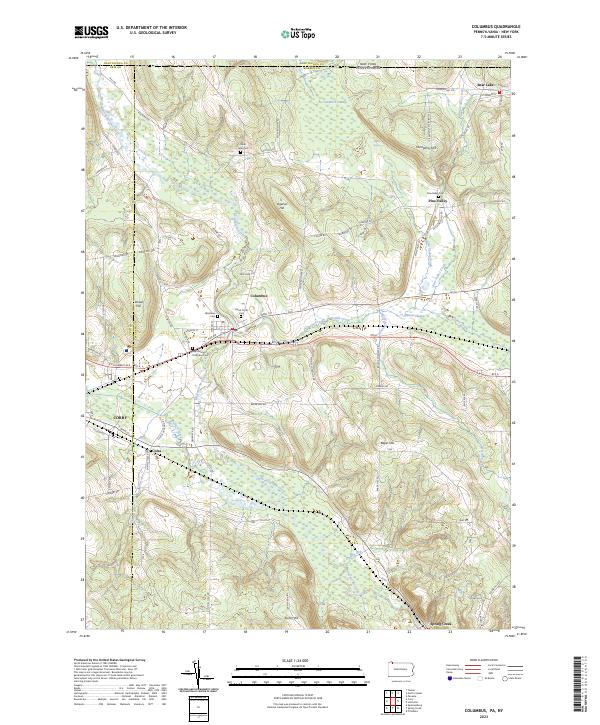
1968 Columbus
Warren County, PA
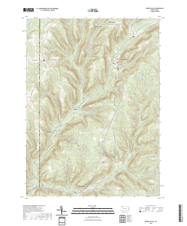
1968 Grand Valley
Warren County, PA
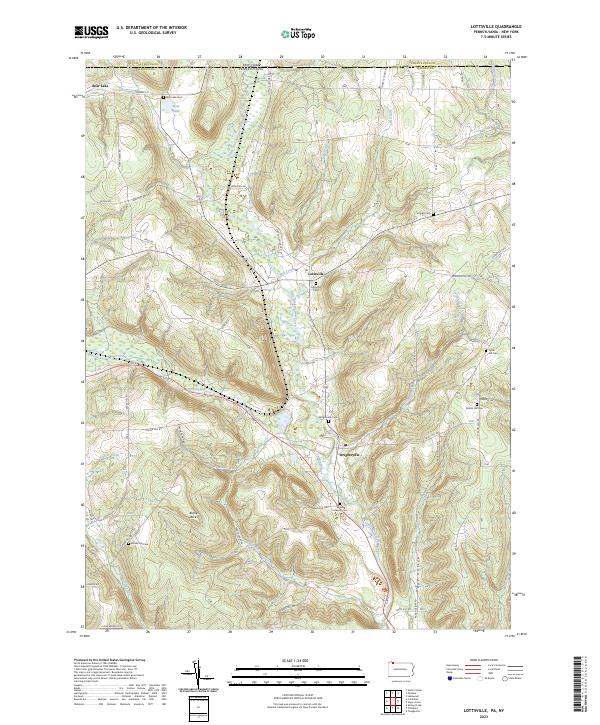
1968 Lottsville
Warren County, PA
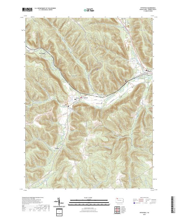
1968 Pittsfield
Warren County, PA
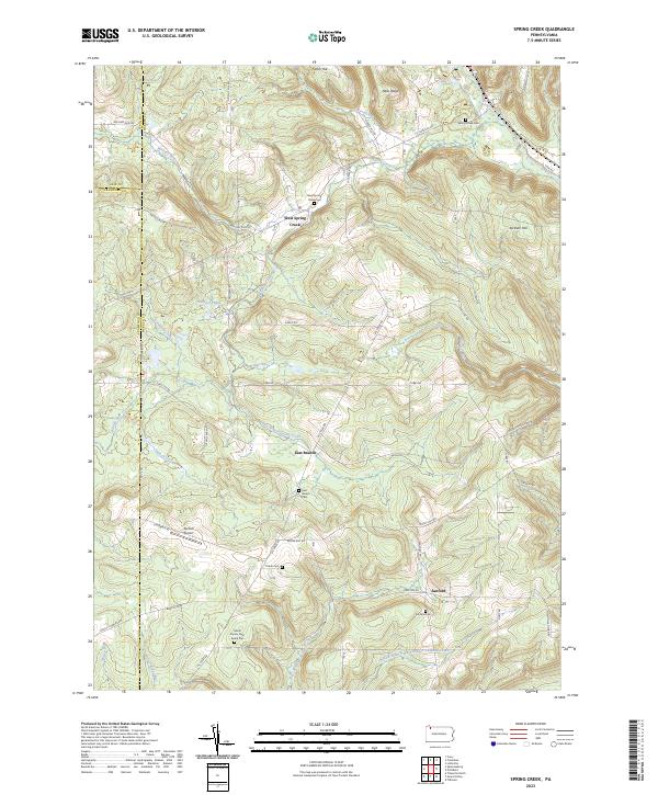
1968 Spring Creek
Warren County, PA
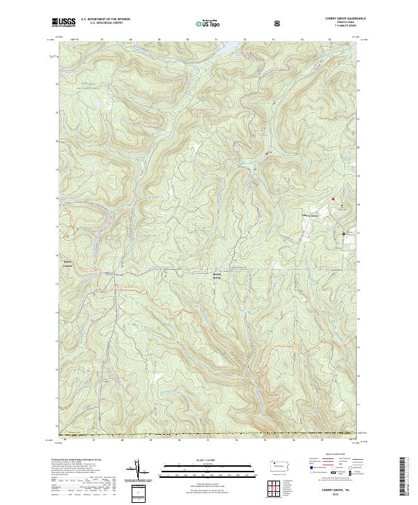
2023 Cherry Grove
Warren County, PA
2023 Cobham
Warren County, PA
2023 Columbus
Warren County, PA
2023 Cornplanter Run
Warren County, PA
2023 Grand Valley
Warren County, PA
2023 Lottsville
Warren County, PA
2023 Pittsfield
Warren County, PA
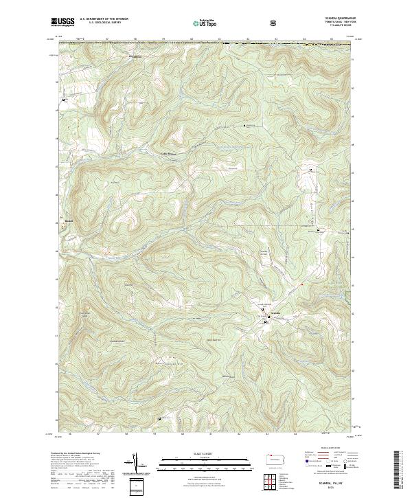
2023 Scandia
Warren County, PA
2023 Sheffield
Warren County, PA
2023 Spring Creek
Warren County, PA