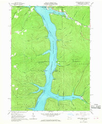
1966 Map of Cornplanter Run
USGS Topo · Published 1968About this map
The Allegheny River Reservoir dominates this mid-1960s landscape, reflecting the transformation of the valley floor after the completion of the Kinzua Dam. While the rising waters submerged former valley lands, the Allegheny National Forest remains the defining feature of the surrounding terrain, including portions of Corydon, Elk, and Mead. Recreational developments are clearly visible along the new shoreline, including the Willow Bay Recreation Area, Hooks Brook Campground, and Hopewell Campground.
Find a feature on this map
57 named features on this map. Tap any name to fly to it.
Don’t see what you’re looking for? This feature index may not catch every label — zoom into the map to look around manually.
Map Details
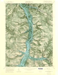
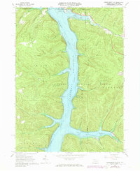
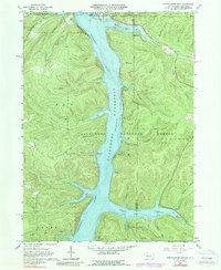
Editions of this 1966 Cornplanter Run Map
4 editions found
Other maps of this area

1905 · Jamestown
USGS Topo · 1:62,500

1906 · Warren
USGS Topo · 1:62,500

1907 · Warren
USGS Topo · 1:62,500

1908 · Warren
USGS Topo · 1:62,500

1922 · Randolph
USGS Topo · 1:62,500

1923 · Randolph
USGS Topo · 1:62,500

1936 · Kinzua
USGS Topo · 1:48,000

1941 · Kinzua
USGS Topo · 1:62,500

1942 · Jamestown
USGS Topo · 1:62,500

1943 · Randolph
USGS Topo · 1:62,500