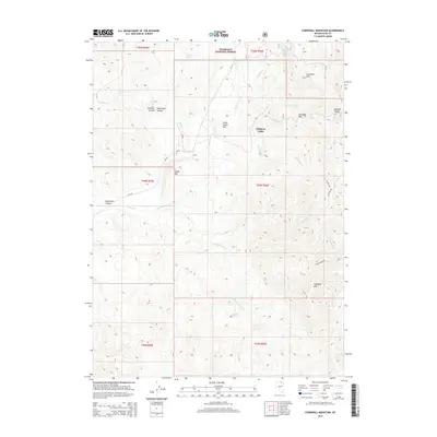
2014 Map of Cornwall Mountain
USGS Topo · Published 2014About this map
Williams Cabin sits at the heart of this high-elevation landscape in Elko County, marking a rare point of human habitation within the eastern reaches of the Humboldt National Forest. The terrain is defined by the significant peaks of the Ichabod Range, including Cornwall Mtn and its namesake Cornwall Pass. Numerous drainage systems carve through the canyons, with Martin Cr, Gold Cr, and Williams Cr flowing through the central valleys. The map documents a network of forest and county roads, such as CR-749 and NF-035, providing access to isolated springs like Buster Spring and Rosebud Spring. This 2014 survey illustrates the intersection of public land management and the rugged high-desert topography of northern Nevada, tracing the ridgelines from Island Mtn to the southern slopes of Haystack Mtn.
Find a feature on this map
42 named features on this map. Tap any name to fly to it.
Don’t see what you’re looking for? This feature index may not catch every label — zoom into the map to look around manually.
Map Details
Editions of this 2014 Cornwall Mountain Map
This is the sole edition of this map. No revisions or reprints were ever made.
Other maps of this area

1935 · Charleston
USGS Topo · 1:48,000

1936 · Mountain City
USGS Topo · 1:62,500

1936 · Rowland
USGS Topo · 1:48,000

1940 · Rowland
USGS Topo · 1:62,500

1940 · Mountain City
USGS Topo · 1:62,500

1942 · Mt. Velma
USGS Topo · 1:62,500

1955 · Wells
USGS Topo · 1:250,000

1956 · Wild Horse
USGS Topo · 1:62,500

1958 · Wells
USGS Topo · 1:250,000

1961 · Wells
USGS Topo · 1:250,000