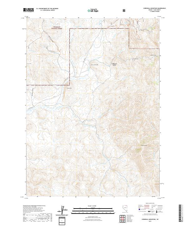
2021 Map of Cornwall Mountain
USGS Topo · Published 2021About this map
Humboldt National Forest encompasses much of this high-elevation landscape in Elko County, where the topography is defined by the Ichabod Range and prominent peaks like Cornwall Mtn. The map reveals a land shaped by water and seasonal drainage, featuring numerous named water sources such as Buster Spring, Fuzzie Spring, and Sweet Spring that sustain the local ecology. Human presence is sparse but distinct, marked by the lonely Williams Cabin and a network of named tracks and trails including Hammond Trl and the Cornwall Trl. The inclusion of Gold Creek Rd suggests a history tied to local mining or ranching access, connecting the various canyons like Hammond Canyon and Blackburn Canyon to the wider region. This survey serves as a precise record of the upland water network and high-country trails in a largely undeveloped pocket of the Great Basin.
Find a feature on this map
51 named features on this map. Tap any name to fly to it.
Don’t see what you’re looking for? This feature index may not catch every label — zoom into the map to look around manually.
Map Details
Editions of this 2021 Cornwall Mountain Map
This is the sole edition of this map. No revisions or reprints were ever made.
Other maps of this area

1935 · Charleston
USGS Topo · 1:48,000

1936 · Mountain City
USGS Topo · 1:62,500

1936 · Rowland
USGS Topo · 1:48,000

1940 · Rowland
USGS Topo · 1:62,500

1940 · Mountain City
USGS Topo · 1:62,500

1942 · Mt. Velma
USGS Topo · 1:62,500

1955 · Wells
USGS Topo · 1:250,000

1956 · Wild Horse
USGS Topo · 1:62,500

1958 · Wells
USGS Topo · 1:250,000

1961 · Wells
USGS Topo · 1:250,000