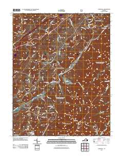
2011 Map of Cornwall
USGS Topo · Published 2011About this map
South River and Irish Creek carve through the mountain gaps in this 2011 survey of Rockbridge County. Small settlements like Marlbrook, Donaldsburg, and Midvale appear along the valley floors, while Blacksburg and Crossroads Store occupy more central positions. The map provides excellent genealogical detail for local researchers, featuring several burial grounds such as McDowell Cemetery, Timber Ridge Cemetery, and Mountain Cemetery.
Find a feature on this map
106 named features on this map. Tap any name to fly to it.
Don’t see what you’re looking for? This feature index may not catch every label — zoom into the map to look around manually.
Map Details
Editions of this 2011 Cornwall Map
This is the sole edition of this map. No revisions or reprints were ever made.
Other maps of this area

1894 · Lexington
USGS Topo · 1:125,000
1932 · Lexington
USGS Topo · 1:48,000
1935 · Buena Vista
USGS Topo · 1:48,000
1935 · Amherst
USGS Topo · 1:48,000
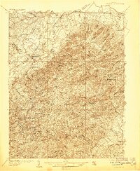
1936 · Vesuvius
USGS Topo · 1:48,000
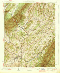
1937 · Lexington
USGS Topo · 1:62,500
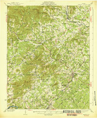
1939 · Amherst
USGS Topo · 1:62,500
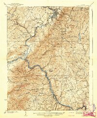
1939 · Buena Vista
USGS Topo · 1:62,500
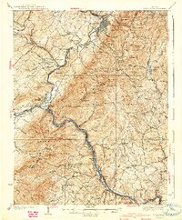
1940 · Buena Vista
USGS Topo · 1:62,500
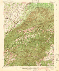
1941 · Vesuvius
USGS Topo · 1:62,500