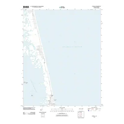
2010 Map of Corolla
USGS Topo · Published 2010About this map
Corolla and the surrounding Outer Banks settlements are documented here between the Atlantic Ocean and the Currituck Sound. This coastal strip shows a shift from maritime navigation landmarks to modern vacation infrastructure. The iconic Currituck Beach Lighthouse stands near the Corolla Post Office, while nearby commercial developments like the Corolla Light Village Shops indicate the growth of the tourism economy.
Find a feature on this map
20 named features on this map. Tap any name to fly to it.
Don’t see what you’re looking for? This feature index may not catch every label — zoom into the map to look around manually.
Map Details
Editions of this 2010 Corolla Map
This is the sole edition of this map. No revisions or reprints were ever made.
Other maps of this area

1893 · Virginia Beach
USGS Topo · 1:125,000

1916 · Back Bay
USGS Topo · 1:62,500

1940 · Barco
USGS Topo · 1:62,500

1943 · Back Bay
USGS Topo · 1:62,500

1946 · Eastville
USGS Topo · 1:250,000

1946 · Currituck Sound
USGS Topo · 1:250,000
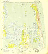
1954 · Knotts Island
USGS Topo · 1:24,000

1961 · Eastville
USGS Topo · 1:250,000

1966 · Eastville
USGS Topo · 1:250,000
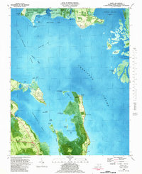
1982 · Barco
USGS Topo · 1:24,000