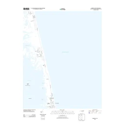
2013 Map of Corolla
USGS Topo · Published 2013About this map
Currituck Beach Lighthouse stands as the primary landmark on this narrow barrier island stretch, anchoring the southern portion of the map near the Corolla settlement. This 2013 survey reveals the thin strip of land separating the Currituck Sound from the Atlantic Ocean, a landscape defined by brackish inlets and coastal development. Small islands like Monkey Island and Mary Island dot the sound, while the mainland side is indented by Jenkins Cove and Ships Bay.
Find a feature on this map
43 named features on this map. Tap any name to fly to it.
Don’t see what you’re looking for? This feature index may not catch every label — zoom into the map to look around manually.
Map Details
Editions of this 2013 Corolla Map
This is the sole edition of this map. No revisions or reprints were ever made.
Other maps of this area

1893 · Virginia Beach
USGS Topo · 1:125,000

1916 · Back Bay
USGS Topo · 1:62,500

1940 · Barco
USGS Topo · 1:62,500

1943 · Back Bay
USGS Topo · 1:62,500

1946 · Eastville
USGS Topo · 1:250,000

1946 · Currituck Sound
USGS Topo · 1:250,000
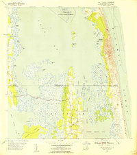
1954 · Knotts Island
USGS Topo · 1:24,000

1961 · Eastville
USGS Topo · 1:250,000

1966 · Eastville
USGS Topo · 1:250,000
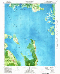
1982 · Barco
USGS Topo · 1:24,000