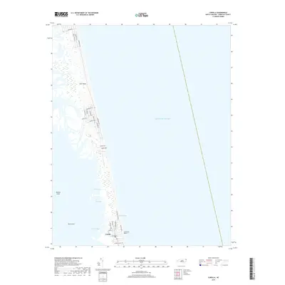
2019 Map of Corolla
USGS Topo · Published 2019About this map
The Outer Banks narrow into a fragile strip of sand and marshland in this coastal survey, where the settlement of Corolla sits anchored between the vast Atlantic Ocean and the intricate shoreline of the sound. The geography here is defined by shifting water and stabilizing dunes, with landmarks like Luark Hill and Catesbys Run rising above the low-lying wetlands. Development follows a linear pattern along roads like Ocean Trail and Sandpiper Road, concentrated primarily around the Currituck Beach area and the local Post Office.
Find a feature on this map
31 named features on this map. Tap any name to fly to it.
Don’t see what you’re looking for? This feature index may not catch every label — zoom into the map to look around manually.
Map Details
Editions of this 2019 Corolla Map
This is the sole edition of this map. No revisions or reprints were ever made.
Other maps of this area

1893 · Virginia Beach
USGS Topo · 1:125,000

1916 · Back Bay
USGS Topo · 1:62,500

1940 · Barco
USGS Topo · 1:62,500

1943 · Back Bay
USGS Topo · 1:62,500

1946 · Eastville
USGS Topo · 1:250,000

1946 · Currituck Sound
USGS Topo · 1:250,000
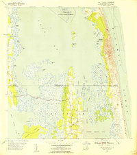
1954 · Knotts Island
USGS Topo · 1:24,000

1961 · Eastville
USGS Topo · 1:250,000

1966 · Eastville
USGS Topo · 1:250,000
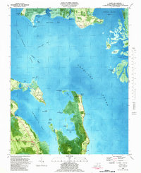
1982 · Barco
USGS Topo · 1:24,000