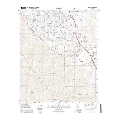
2015 Map of Corona South
USGS Topo · Published 2015About this map
Corona serves as the focal point of this survey, illustrating the southward expansion of the city into the foothills of the Santa Ana Mountains. The transition from the urban grid to the protected wilderness of the Cleveland National Forest is starkly defined, showing the interface between residential developments like El Cerrito and the steep, canyon-cut terrain to the south. Local landmarks such as the Sunny Slope Cemetery and the Oak Street Cr Reservoir provide specific points of reference for researchers interested in the community's infrastructure and history.
Find a feature on this map
155 named features on this map. Tap any name to fly to it.
Don’t see what you’re looking for? This feature index may not catch every label — zoom into the map to look around manually.
Map Details
Editions of this 2015 Corona South Map
This is the sole edition of this map. No revisions or reprints were ever made.
Other maps of this area

1901 · Southern California Sheet No. 1
USGS Topo · 1:250,000

1901 · Elsinore
USGS Topo · 1:125,000

1901 · Riverside
USGS Topo · 1:62,500

1902 · Corona
USGS Topo · 1:125,000

1904 · Southern California Sheet No. 1
USGS Topo · 1:250,000
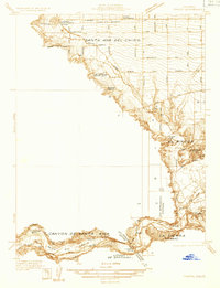
1933 · Prado
USGS Topo · 1:31,680

1935 · El Toro
USGS Topo · 1:31,680
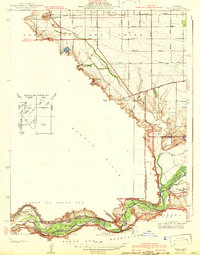
1941 · Prado
USGS Topo · 1:31,680

1942 · Lake Elsinore
USGS Topo · 1:62,500
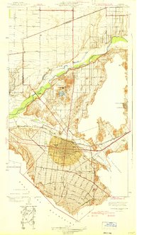
1942 · Corona and Vicinity
USGS Topo · 1:31,680