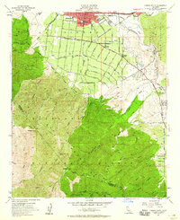
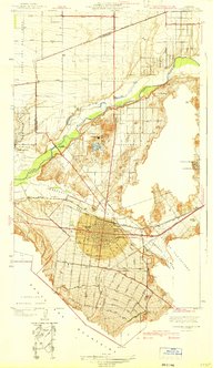
1954 Map of Corona South
USGS Topo · Published 1960About this map
The southern edge of Corona and its neighboring agricultural fringes meet the steep ascent of the Santa Ana Mountains in this mid-century survey. Irrigation and industry define the valley floor, where citrus groves give way to a Glass Factory, a series of clay pits, and the Sunny Slope Cemetery. The transition from urban to wild is sharp, as the city boundary abuts the Cleveland National Forest. Infrastructure of the era is well-represented by the Atchison Topeka and Santa Fe railroad and the Pacific Electric line, supporting a local economy built on extraction and transport.
Find a feature on this map
60 named features on this map. Tap any name to fly to it.
Don’t see what you’re looking for? This feature index may not catch every label — zoom into the map to look around manually.
Map Details
Editions of this 1954 Corona South Map
2 editions found
Other maps of this area

1901 · Southern California Sheet No. 1
USGS Topo · 1:250,000

1901 · Elsinore
USGS Topo · 1:125,000

1901 · Riverside
USGS Topo · 1:62,500

1902 · Corona
USGS Topo · 1:125,000

1904 · Southern California Sheet No. 1
USGS Topo · 1:250,000
1933 · Prado
USGS Topo · 1:31,680

1935 · El Toro
USGS Topo · 1:31,680
1941 · Prado
USGS Topo · 1:31,680

1942 · Lake Elsinore
USGS Topo · 1:62,500
1942 · Corona and Vicinity
USGS Topo · 1:31,680