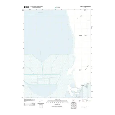
2011 Map of Corral Canyon
USGS Topo · Published 2011About this map
Stansbury Island rises as a prominent landmass within the southern reaches of the Great Salt Lake in this 2011 survey of Tooele County. The terrain is defined by dramatic elevation changes, with peaks such as Adams Peak and The Dome overlooking the salt flats and water. A series of steep drainage features, including Corral Canyon, Stansbury Gulch, and Tabbys Canyon, carve through the eastern slopes of the island toward the shoreline. The island is connected to the mainland via the Stansbury Island Bar, a land bridge that supports Stansbury Rd. This map captures the stark boundary between the lake's aquatic environment and the arid, rocky interior of the island, documenting the geographical layout of one of the lake's largest features before subsequent lake level fluctuations.
Find a feature on this map
9 named features on this map. Tap any name to fly to it.
Don’t see what you’re looking for? This feature index may not catch every label — zoom into the map to look around manually.
Map Details
Editions of this 2011 Corral Canyon Map
This is the sole edition of this map. No revisions or reprints were ever made.
Other maps of this area

1885 · Tooele Valley
USGS Topo · 1:250,000

1953 · Tooele
USGS Topo · 1:250,000

1955 · Timpie
USGS Topo · 1:62,500

1955 · Burmester
USGS Topo · 1:24,000

1955 · Tooele
USGS Topo · 1:250,000

1968 · Plug Peak NW
USGS Topo · 1:24,000

1968 · Poverty Point
USGS Topo · 1:24,000

1968 · Badger Island NW
USGS Topo · 1:24,000

1968 · Badger Island
USGS Topo · 1:24,000

1968 · Corral Canyon
USGS Topo · 1:24,000