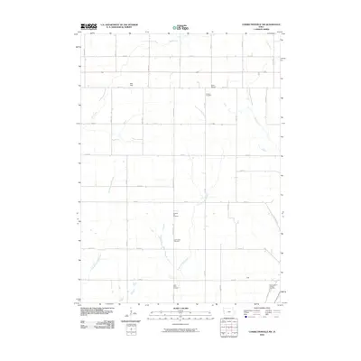
2010 Map of Correctionville NW
USGS Topo · Published 2010About this map
Wolf Creek and its many tributaries, including the East Branch Wolf Creek and East Fork Wolf Creek, define the drainage patterns of this rural Woodbury County landscape. The area is marked by a network of sectional roads such as Kossuth Ave and Lucas Ave, which connect several small named locales including Wolf Dale, Rock Branch, and Gale. Genealogists will find a significant concentration of burial sites throughout the quadrangle, ranging from the Fairfield Cemetery in the north to Saint Joseph's Catholic Cemetery and Lucky Valley Cemetery in the south. The presence of Pleasant Hill Cemetery and Wolf Creek Cemetery further suggests the locations of former community centers and rural parishes that once anchored this agricultural region at the start of the twenty-first century.
Find a feature on this map
29 named features on this map. Tap any name to fly to it.
Don’t see what you’re looking for? This feature index may not catch every label — zoom into the map to look around manually.
Map Details
Editions of this 2010 Correctionville NW Map
This is the sole edition of this map. No revisions or reprints were ever made.
Other maps of this area

1954 · Fort Dodge
USGS Topo · 1:250,000

1955 · Sioux City
USGS Topo · 1:250,000

1957 · Fort Dodge
USGS Topo · 1:250,000

1958 · Sioux City
USGS Topo · 1:250,000

1958 · Fort Dodge
USGS Topo · 1:250,000

1959 · Sioux City
USGS Topo · 1:250,000

1962 · Union Center
USGS Topo · 1:62,500

1964 · Climbing Hill
USGS Topo · 1:24,000

1964 · Moville
USGS Topo · 1:24,000

1969 · Pierson
USGS Topo · 1:24,000