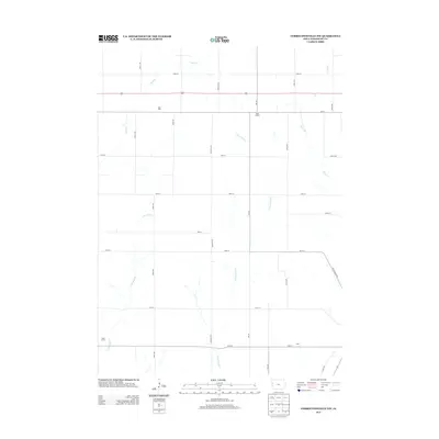
2013 Map of Correctionville NW
USGS Topo · Published 2013About this map
Wolf Dale and Rock Branch occupy a quiet agricultural landscape in northern Woodbury County during the early 2010s. This region is defined by the dendritic drainage patterns of Wolf Cr and its tributaries, including E Fork Wolf Cr and E Br Wolf Cr, which cut through the farm-rich terrain. The map captures the highly organized section-line road grid typical of the Iowa plains, where avenues like Kossuth Ave and Lucas Ave intersect numbered streets at precise intervals. Small rural clusters and agricultural operations such as Kuhn Farms and the settlement of Gale are scattered across the quadrangle, illustrating the persistent, low-density settlement pattern of the state's northwestern interior. Local transportation is anchored by US Highway 20, providing a primary east-west corridor through the rolling watershed of Rock Cr.
Find a feature on this map
24 named features on this map. Tap any name to fly to it.
Don’t see what you’re looking for? This feature index may not catch every label — zoom into the map to look around manually.
Map Details
Editions of this 2013 Correctionville NW Map
This is the sole edition of this map. No revisions or reprints were ever made.
Other maps of this area

1954 · Fort Dodge
USGS Topo · 1:250,000

1955 · Sioux City
USGS Topo · 1:250,000

1957 · Fort Dodge
USGS Topo · 1:250,000

1958 · Sioux City
USGS Topo · 1:250,000

1958 · Fort Dodge
USGS Topo · 1:250,000

1959 · Sioux City
USGS Topo · 1:250,000

1962 · Union Center
USGS Topo · 1:62,500

1964 · Climbing Hill
USGS Topo · 1:24,000

1964 · Moville
USGS Topo · 1:24,000

1969 · Pierson
USGS Topo · 1:24,000