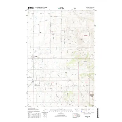
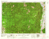
2017 Map of Corvallis
USGS Topo · Published 2017About this map
The settlement of Corvallis serves as the focal point of this western Montana landscape, situated in the valley just west of the Bitterroot National Forest boundary. This area is characterized by a dense network of local roads and family-named landmarks, such as Quast and Cobb, which suggest a long history of agricultural and orchard use. Indeed, names like Mountain View Orchard Rd and Wild Apple Rd point to the valley's productive heritage. To the east, the terrain rises sharply into the foothills of the Sapphire Mountains, where numerous drainages like Soft Rock Cr and Coalpit Cr emerge from the forest. Researchers will find significant local history markers including the Corvallis Cem and Shimmon Airport, alongside distinct geographic features like Chaffin Butte and Charleys Gulch.
Find a feature on this map
108 named features on this map. Tap any name to fly to it.
Don’t see what you’re looking for? This feature index may not catch every label — zoom into the map to look around manually.
Map Details
Editions of this 2017 Corvallis Map
This is the sole edition of this map. No revisions or reprints were ever made.
Other maps of this area
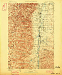
1901 · Hamilton
USGS Topo · 1:125,000
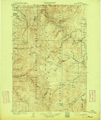
1909 · Sapphire
USGS Topo · 1:125,000

1947 · Butte
USGS Topo · 1:250,000
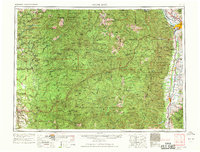
1956 · Hamilton
USGS Topo · 1:250,000

1958 · Butte
USGS Topo · 1:250,000
1959 · Hamilton
USGS Topo · 1:250,000
1960 · Butte
USGS Topo · 1:250,000
1960 · Hamilton
USGS Topo · 1:250,000
1962 · Butte
USGS Topo · 1:250,000
1964 · Hamilton
USGS Topo · 1:250,000