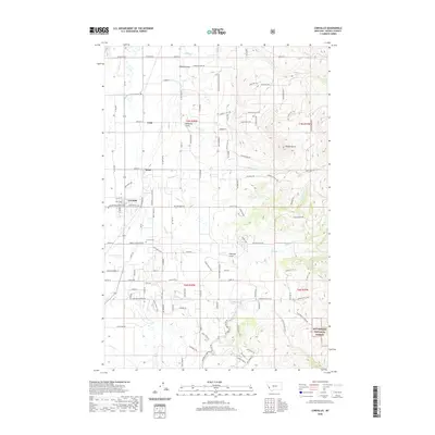
2020 Map of Corvallis
USGS Topo · Published 2020About this map
Corvallis serves as the primary hub of this Bitterroot Valley landscape, where residential street grids transition into a complex network of irrigation-supporting waterways and agricultural lanes. The terrain is defined by the contrast between the flat valley floor and the rising eastern foothills of the Bitterroot National Forest, marked by prominent features like Chaffin Butte and Coyote Gulch. Smaller settlements such as Cobb and Quast dot the valley to the north, connected by roads like Mountain View Orchard Rd that reflect the area's horticultural heritage.
Find a feature on this map
74 named features on this map. Tap any name to fly to it.
Don’t see what you’re looking for? This feature index may not catch every label — zoom into the map to look around manually.
Map Details
Editions of this 2020 Corvallis Map
This is the sole edition of this map. No revisions or reprints were ever made.
Other maps of this area

1901 · Hamilton
USGS Topo · 1:125,000

1909 · Sapphire
USGS Topo · 1:125,000

1947 · Butte
USGS Topo · 1:250,000

1956 · Hamilton
USGS Topo · 1:250,000

1958 · Butte
USGS Topo · 1:250,000

1959 · Hamilton
USGS Topo · 1:250,000

1960 · Butte
USGS Topo · 1:250,000

1960 · Hamilton
USGS Topo · 1:250,000

1962 · Butte
USGS Topo · 1:250,000

1964 · Hamilton
USGS Topo · 1:250,000