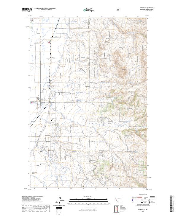
2024 Map of Corvallis
USGS Topo · Published 2024About this map
The community of Corvallis serves as the focal point of this western Montana landscape, situated at the eastern edge of the Bitterroot Valley. Settlement patterns here are defined by a grid of rural roads and orchards, with clusters of development near Cobb and Quast. The terrain transitions sharply from the agricultural flats near the Ravalli County Airport into the rising elevations of the Sapphire Mountains to the east. The Bitterroot National Forest boundary marks the beginning of this more vertical landscape, where drainages like Coyote Gulch and Charleys Gulch carve through the foothills. Local history is anchored at the Corvallis Cem, while the hydrological network of Willow Creek, Soft Rock Creek, and Coalpit Creek illustrates the vital water distribution required for the region's long-standing orchard and farming operations.
Find a feature on this map
122 named features on this map. Tap any name to fly to it.
Don’t see what you’re looking for? This feature index may not catch every label — zoom into the map to look around manually.
Map Details
Editions of this 2024 Corvallis Map
This is the sole edition of this map. No revisions or reprints were ever made.
Other maps of this area

1901 · Hamilton
USGS Topo · 1:125,000

1909 · Sapphire
USGS Topo · 1:125,000

1947 · Butte
USGS Topo · 1:250,000

1956 · Hamilton
USGS Topo · 1:250,000

1958 · Butte
USGS Topo · 1:250,000

1959 · Hamilton
USGS Topo · 1:250,000

1960 · Butte
USGS Topo · 1:250,000

1960 · Hamilton
USGS Topo · 1:250,000

1962 · Butte
USGS Topo · 1:250,000

1964 · Hamilton
USGS Topo · 1:250,000