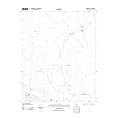
2012 Map of Cosio Knob
USGS Topo · Published 2012About this map
The southern reaches of the Santa Lucia Range are defined here by a series of steep canyons and the military presence of Hunter-Liggett. This 2012 survey shows the topographic character of the region as Jolon Cr and Mission Cr drain the uplands toward the Jolon Valley. The terrain is marked by prominent landmarks such as Cosio Knob and the Oat Hills, providing a clear view of the natural corridors used for travel. Transportation in this part of Monterey County relies on the primary artery of Jolon Rd and its bypass, Old Jolon Rd. The map also traces numerous named drainages including Wilkins Canyon, Mansfield Canyon, and Sulphur Spring Canyon, which illustrate the complex drainage patterns of this rugged interior landscape.
Find a feature on this map
18 named features on this map. Tap any name to fly to it.
Don’t see what you’re looking for? This feature index may not catch every label — zoom into the map to look around manually.
Map Details
Editions of this 2012 Cosio Knob Map
This is the sole edition of this map. No revisions or reprints were ever made.
Other maps of this area

1919 · King City
USGS Topo · 1:62,500

1919 · Junipero Serra
USGS Topo · 1:62,500

1919 · Bryson
USGS Topo · 1:62,500

1921 · Cape San Martin
USGS Topo · 1:62,500

1939 · King City
USGS Topo · 1:62,500

1941 · Cape San Martin
USGS Topo · 1:62,500

1941 · Junipero Serra
USGS Topo · 1:62,500

1941 · Bryson
USGS Topo · 1:62,500

1942 · Bryson
USGS Topo · 1:62,500

1942 · Cape San Martin
USGS Topo · 1:62,500