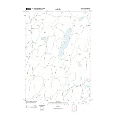
2013 Map of Cossayuna
USGS Topo · Published 2013About this map
Cossayuna Lake anchors this part of Washington County, its waters surrounding the prominent Big Island and serving as a focal point for the settlement of Cossayuna. To the northwest, the village of Argyle sits at a crossroads near the Moses Kill, marked by local history sites including Prospect Hill Cem and Argyle Cem. The landscape is a network of named heights and working farms, from Barkley Mountain and Murdock Mountain to established tracts like Highland Maple Farm and Butternut Ridge Farms.
Find a feature on this map
138 named features on this map. Tap any name to fly to it.
Don’t see what you’re looking for? This feature index may not catch every label — zoom into the map to look around manually.
Map Details
Editions of this 2013 Cossayuna Map
This is the sole edition of this map. No revisions or reprints were ever made.
Other maps of this area

1893 · Fort Ann
USGS Topo · 1:62,500

1895 · Cambridge
USGS Topo · 1:62,500

1895 · Fort Ann
USGS Topo · 1:62,500

1895 · Glens Falls
USGS Topo · 1:62,500

1897 · Glens Falls
USGS Topo · 1:62,500

1898 · Cambridge
USGS Topo · 1:62,500

1898 · Fort Ann
USGS Topo · 1:62,500

1900 · Schuylerville
USGS Topo · 1:62,500

1901 · Fort Ann
USGS Topo · 1:62,500

1901 · Cambridge
USGS Topo · 1:62,500