
1901 Map of Cambridge
USGS Topo · Published 1901About this map
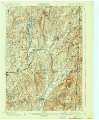
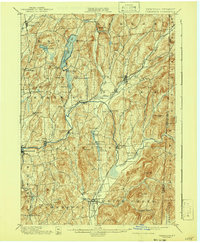
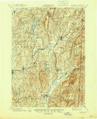
The Batten Kill carves a winding path through this corner of Washington County, anchoring a landscape defined by turn-of-the-century mill towns and agrarian valleys. In the years following the 1892-93 survey, the region was a bustling corridor of rail and water power. Settlements like Battenville, Center Falls, and Greenwich sit positioned along the river, while the Rutland and Washington B.R. and the Delaware and Hudson R.R. provide the vital connections for commerce in Salem and Cambridge.
Find a feature on this map
76 named features on this map. Tap any name to fly to it.
Don’t see what you’re looking for? This feature index may not catch every label — zoom into the map to look around manually.
Map Details
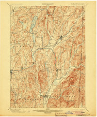
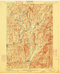
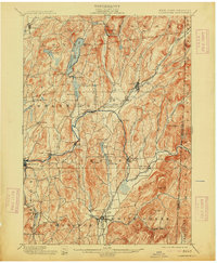
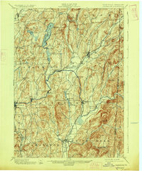
Editions of this 1901 Cambridge Map
8 editions found
Other maps of this area

1893 · Cohoes
USGS Topo · 1:62,500

1893 · Fort Ann
USGS Topo · 1:62,500

1894 · Pawlet
USGS Topo · 1:62,500

1894 · Equinox
USGS Topo · 1:62,500

1895 · Cohoes
USGS Topo · 1:62,500

1895 · Cambridge
USGS Topo · 1:62,500

1895 · Fort Ann
USGS Topo · 1:62,500

1895 · Glens Falls
USGS Topo · 1:62,500

1896 · Equinox
USGS Topo · 1:62,500

1897 · Pawlet
USGS Topo · 1:62,500