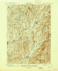
1901 Map of Cambridge
USGS Topo · Published 1945About this map
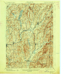
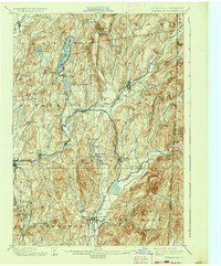
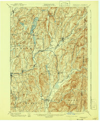
Batten Kill snakes through the heart of Washington County, anchoring a late 19th-century landscape of riverside mill towns and valley rail junctions. The survey captures the industrial and agricultural rhythm of the era, where the Greenwich and Johnsonville Ry. and the Delaware and Hudson R. R. connected settlements like Greenwich and Salem to wider regional markets. Small hamlets such as Battenville, Center Falls, and Shushan appear established along the water’s edge, utilizing the river's power long before modern industrial shifts.
Find a feature on this map
72 named features on this map. Tap any name to fly to it.
Don’t see what you’re looking for? This feature index may not catch every label — zoom into the map to look around manually.
Map Details
Editions of this 1901 Cambridge Map
8 editions found

Other maps of this area

1893 · Cohoes
USGS Topo · 1:62,500

1893 · Fort Ann
USGS Topo · 1:62,500

1894 · Pawlet
USGS Topo · 1:62,500

1894 · Equinox
USGS Topo · 1:62,500

1895 · Cohoes
USGS Topo · 1:62,500

1895 · Cambridge
USGS Topo · 1:62,500

1895 · Fort Ann
USGS Topo · 1:62,500

1895 · Glens Falls
USGS Topo · 1:62,500

1896 · Equinox
USGS Topo · 1:62,500

1897 · Pawlet
USGS Topo · 1:62,500