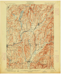
1901 Map of Cambridge
USGS Topo · Published 1913About this map
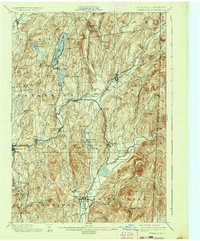
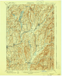
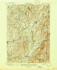
The Batten Kill carves a winding path through this Washington County landscape, serving as a central artery for the early 20th-century settlements of Battenville, Center Falls, and Shushan. The region is defined by a dense network of water and rail, where the Rutland R.R. and Delaware and Hudson R.R. navigate the valley floors between prominent heights like Mt. Colfax and Hebron Mt. This era shows the rural character of eastern New York just before the widespread adoption of the automobile, with small hamlets like Pumpkin Hook and Anaquassacook still functioning as distinct local hubs.
Find a feature on this map
72 named features on this map. Tap any name to fly to it.
Don’t see what you’re looking for? This feature index may not catch every label — zoom into the map to look around manually.
Map Details
Editions of this 1901 Cambridge Map
8 editions found

Other maps of this area

1893 · Cohoes
USGS Topo · 1:62,500

1893 · Fort Ann
USGS Topo · 1:62,500

1894 · Pawlet
USGS Topo · 1:62,500

1894 · Equinox
USGS Topo · 1:62,500

1895 · Cohoes
USGS Topo · 1:62,500

1895 · Cambridge
USGS Topo · 1:62,500

1895 · Fort Ann
USGS Topo · 1:62,500

1895 · Glens Falls
USGS Topo · 1:62,500

1896 · Equinox
USGS Topo · 1:62,500

1897 · Pawlet
USGS Topo · 1:62,500