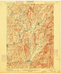
1901 Map of Cambridge
USGS Topo · Published 1909About this map
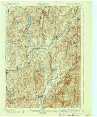
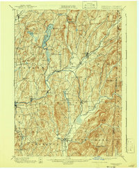
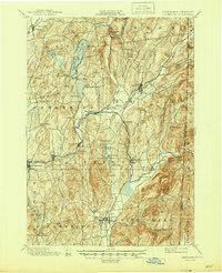
The Batten Kill river winds through a landscape of ridges and valleys in this early twentieth-century survey of Washington County, New York, and the Vermont border. The waterway anchors a string of paper and agricultural settlements, including Greenwich, Battenville, and Shushan. Transportation is dominated by the intersecting routes of the Delaware and Hudson RR and the Rutland and Washington RR, which facilitated trade between the valley towns like Salem and Cambridge. Further north, the terrain transitions into the upland basins of Cossayuna Lake and Summit Lake. Genealogists may find value in tracing smaller, localized place names such as Pumpkin Hook, Anaquassacook, and Fly Summit, many of which were small rural centers tied to the surrounding hill farms and mills. The boundary between New York and Vermont is clearly delineated along the eastern edge, passing through the Camden Valley and near Huckleberry Hill.
Find a feature on this map
75 named features on this map. Tap any name to fly to it.
Don’t see what you’re looking for? This feature index may not catch every label — zoom into the map to look around manually.
Map Details
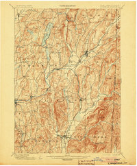
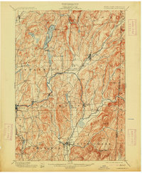
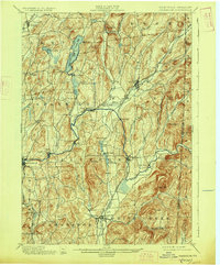
Editions of this 1901 Cambridge Map
8 editions found

Other maps of this area

1893 · Cohoes
USGS Topo · 1:62,500

1893 · Fort Ann
USGS Topo · 1:62,500

1894 · Pawlet
USGS Topo · 1:62,500

1894 · Equinox
USGS Topo · 1:62,500

1895 · Cohoes
USGS Topo · 1:62,500

1895 · Cambridge
USGS Topo · 1:62,500

1895 · Fort Ann
USGS Topo · 1:62,500

1895 · Glens Falls
USGS Topo · 1:62,500

1896 · Equinox
USGS Topo · 1:62,500

1897 · Pawlet
USGS Topo · 1:62,500