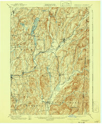
1901 Map of Cambridge
USGS Topo · Published 1941About this map
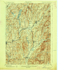
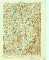
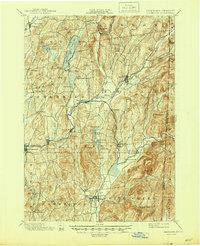
The Batten Kill river winds through Washington County, New York, defining the agricultural and industrial rhythm of this landscape at the end of the nineteenth century. Centered on the village of Salem and the hub of Cambridge, the terrain is marked by a network of early railroads, including the Delaware and Hudson RR and the Rutland RR, which connected these valley settlements to broader markets. The topography is a mix of fertile bottomlands and prominent peaks like Hebron Mt. and Mt. Colfax.
Find a feature on this map
69 named features on this map. Tap any name to fly to it.
Don’t see what you’re looking for? This feature index may not catch every label — zoom into the map to look around manually.
Map Details
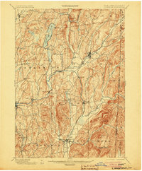
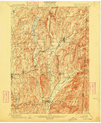
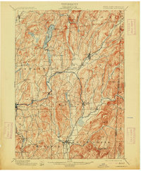
Editions of this 1901 Cambridge Map
8 editions found

Other maps of this area

1893 · Cohoes
USGS Topo · 1:62,500

1893 · Fort Ann
USGS Topo · 1:62,500

1894 · Pawlet
USGS Topo · 1:62,500

1894 · Equinox
USGS Topo · 1:62,500

1895 · Cohoes
USGS Topo · 1:62,500

1895 · Cambridge
USGS Topo · 1:62,500

1895 · Fort Ann
USGS Topo · 1:62,500

1895 · Glens Falls
USGS Topo · 1:62,500

1896 · Equinox
USGS Topo · 1:62,500

1897 · Pawlet
USGS Topo · 1:62,500