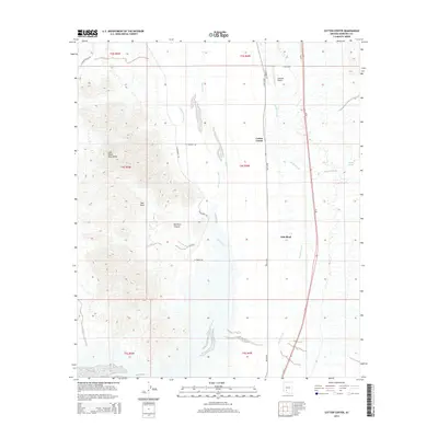
2014 Map of Cotton Center
USGS Topo · Published 2014About this map
The Gila River corridor south of the Gila Mountains reveals a landscape defined by desert agriculture and modern transport networks. The small agricultural community of Cotton Center serves as a central hub, surrounded by the engineered hydrology of the Enterprise Canal and the Gila Bend Canal. These waterways underscore the intensive land use required to cultivate this arid region of Maricopa County. To the west, the terrain rises sharply into the volcanic forms of Red Rock and Red Rock Canyon, creating a stark contrast to the flat, canal-fed basins to the east.
Find a feature on this map
26 named features on this map. Tap any name to fly to it.
Don’t see what you’re looking for? This feature index may not catch every label — zoom into the map to look around manually.
Map Details
Editions of this 2014 Cotton Center Map
This is the sole edition of this map. No revisions or reprints were ever made.
Other maps of this area

1950 · Theba
USGS Topo · 1:62,500

1951 · Gila Bend
USGS Topo · 1:62,500

1951 · Theba
USGS Topo · 1:62,500

1951 · Cotton Center
USGS Topo · 1:62,500

1951 · Woolsey Peak
USGS Topo · 1:62,500

1953 · Ajo
USGS Topo · 1:250,000

1954 · Phoenix
USGS Topo · 1:250,000

1957 · Ajo
USGS Topo · 1:250,000

1957 · Phoenix
USGS Topo · 1:250,000

1958 · Ajo
USGS Topo · 1:250,000