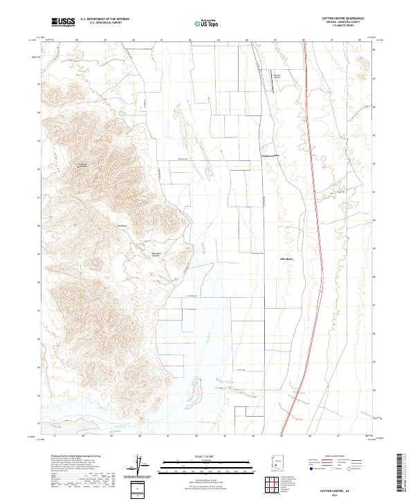
2021 Map of Cotton Center
USGS Topo · Published 2021About this map
The Gila River winds through the desert floor here, flanked by the engineered waterways of the Gila Bend Canal and Enterprise Canal. These canals define the agricultural footprint of the region, supporting the settlement of Cotton Center and the surrounding grids of rural roads. To the west, the landscape shifts abruptly into the high, jagged terrain of the Gila Bend Mountains, where Red Rock Canyon cuts deep into the range near the Red Rock formation.
Find a feature on this map
22 named features on this map. Tap any name to fly to it.
Don’t see what you’re looking for? This feature index may not catch every label — zoom into the map to look around manually.
Map Details
Editions of this 2021 Cotton Center Map
This is the sole edition of this map. No revisions or reprints were ever made.
Other maps of this area

1950 · Theba
USGS Topo · 1:62,500

1951 · Gila Bend
USGS Topo · 1:62,500

1951 · Theba
USGS Topo · 1:62,500

1951 · Cotton Center
USGS Topo · 1:62,500

1951 · Woolsey Peak
USGS Topo · 1:62,500

1953 · Ajo
USGS Topo · 1:250,000

1954 · Phoenix
USGS Topo · 1:250,000

1957 · Ajo
USGS Topo · 1:250,000

1957 · Phoenix
USGS Topo · 1:250,000

1958 · Ajo
USGS Topo · 1:250,000