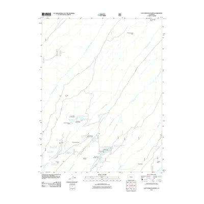
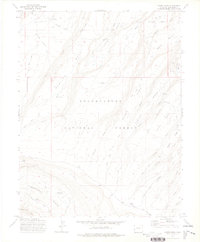
2011 Map of Cottonwood Basin
USGS Topo · Published 2011About this map
Cottonwood Basin and the adjacent Potter Basin define this landscape of the Uncompahgre Plateau, showing a sophisticated network of high-elevation water management. The area is marked by a dense concentration of reservoirs and dams, many bearing family or descriptive names such as the Harry White Reservoirs, Lower Ed Lee Number 2 Reservoir, and Bullfrog Reservoir. This water infrastructure suggests a history of livestock grazing and agricultural support for the surrounding Montrose County region. Settlement is sparse, represented by Fall Cabin Camp in the western reaches. The terrain is deeply incised by drainages like Dry Fork Escalante Creek and Monitor Creek, which flow toward the canyon country. Prominent landmarks like Peach Orchard Point offer navigational reference in this high-country environment.
Find a feature on this map
42 named features on this map. Tap any name to fly to it.
Don’t see what you’re looking for? This feature index may not catch every label — zoom into the map to look around manually.
Map Details
Editions of this 2011 Cottonwood Basin Map
This is the sole edition of this map. No revisions or reprints were ever made.
Other maps of this area

1956 · Moab
USGS Topo · 1:250,000

1959 · Moab
USGS Topo · 1:250,000

1960 · Moab
USGS Topo · 1:250,000

1962 · Moab
USGS Topo · 1:250,000

1964 · Moab
USGS Topo · 1:250,000

1965 · Moab
USGS Topo · 1:250,000
1969 · Roubideau
USGS Topo · 1:24,000
1969 · Good Point
USGS Topo · 1:24,000
1973 · Camel Back
USGS Topo · 1:24,000
1973 · Moore Mesa
USGS Topo · 1:24,000