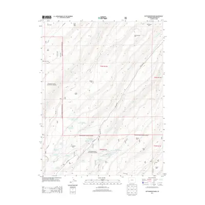
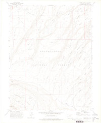
2013 Map of Cottonwood Basin
USGS Topo · Published 2013About this map
The Uncompahgre National Forest dominates this high-plateau landscape, where a sophisticated network of upland water management defines the local geography. Numerous small reservoirs and irrigation features, such as the Harry White Reservoirs and the series of Lee Reservoirs, suggest a history of managing runoff across the arid mesas. The terrain is deeply incised by drainages like Cottonwood Cr and Monitor Cr, creating a sequence of elevated plateaus including Sawmill Mesa and Delta Mesa.
Find a feature on this map
60 named features on this map. Tap any name to fly to it.
Don’t see what you’re looking for? This feature index may not catch every label — zoom into the map to look around manually.
Map Details
Editions of this 2013 Cottonwood Basin Map
This is the sole edition of this map. No revisions or reprints were ever made.
Other maps of this area

1956 · Moab
USGS Topo · 1:250,000

1959 · Moab
USGS Topo · 1:250,000

1960 · Moab
USGS Topo · 1:250,000

1962 · Moab
USGS Topo · 1:250,000

1964 · Moab
USGS Topo · 1:250,000

1965 · Moab
USGS Topo · 1:250,000
1969 · Roubideau
USGS Topo · 1:24,000
1969 · Good Point
USGS Topo · 1:24,000
1973 · Camel Back
USGS Topo · 1:24,000
1973 · Moore Mesa
USGS Topo · 1:24,000