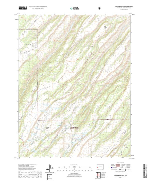
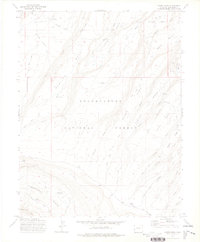
2022 Map of Cottonwood Basin
USGS Topo · Published 2022About this map
Uncompahgre National Forest encompasses much of this high-elevation landscape, where a series of prominent mesas and deep drainage basins define the terrain. The topography is characterized by flat-topped features like Twentyfive Mesa, Sawmill Mesa, and Monitor Mesa, which are separated by a complex network of gulches and draws. This region serves as a vital watershed, evidenced by a high density of small water storage sites including the Harry White Reservoirs, Lower Ed Lee Reservoir, and Big Monitor Reservoir Number 1.
Find a feature on this map
48 named features on this map. Tap any name to fly to it.
Don’t see what you’re looking for? This feature index may not catch every label — zoom into the map to look around manually.
Map Details
Editions of this 2022 Cottonwood Basin Map
This is the sole edition of this map. No revisions or reprints were ever made.
Other maps of this area

1956 · Moab
USGS Topo · 1:250,000

1959 · Moab
USGS Topo · 1:250,000

1960 · Moab
USGS Topo · 1:250,000

1962 · Moab
USGS Topo · 1:250,000

1964 · Moab
USGS Topo · 1:250,000

1965 · Moab
USGS Topo · 1:250,000
1969 · Roubideau
USGS Topo · 1:24,000
1969 · Good Point
USGS Topo · 1:24,000
1973 · Camel Back
USGS Topo · 1:24,000
1973 · Moore Mesa
USGS Topo · 1:24,000