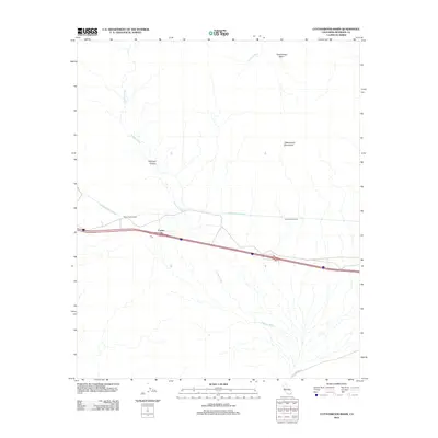
2012 Map of Cottonwood Basin
USGS Topo · Published 2012About this map
Cactus City sits as a lonely settlement along the interstate corridor, representing the thin human footprint in this part of Riverside County. The landscape is dominated by the massive hydrologic engineering of the Colorado River Aqueduct, which cuts across the arid terrain through a series of significant subterranean works including the Mecca Pass Tunnels and the Cottonwood Tunnel. These features underscore the region's role as a critical transit point for water resources in the California desert.
Find a feature on this map
9 named features on this map. Tap any name to fly to it.
Don’t see what you’re looking for? This feature index may not catch every label — zoom into the map to look around manually.
Map Details
Editions of this 2012 Cottonwood Basin Map
This is the sole edition of this map. No revisions or reprints were ever made.
Other maps of this area

1904 · Indio
USGS Topo · 1:125,000

1940 · Cottonwood Spring
USGS Topo · 1:62,500

1941 · Coachella
USGS Topo · 1:62,500

1943 · Coachella
USGS Topo · 1:62,500

1943 · Pinkham Well
USGS Topo · 1:62,500

1944 · Cottonwood Spring
USGS Topo · 1:62,500

1944 · Pinkham Well
USGS Topo · 1:62,500

1944 · Pinyon Well
USGS Topo · 1:62,500

1947 · Santa Ana
USGS Topo · 1:250,000

1949 · Santa Ana
USGS Topo · 1:250,000