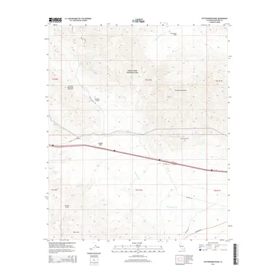
2015 Map of Cottonwood Basin
USGS Topo · Published 2015About this map
Joshua Tree National Park encompasses a significant portion of this high desert terrain, where the Little San Bernardino Mountains meet the Cottonwood Mountains. The landscape is defined by its arid drainage systems, notably Pinkham Wash and the rugged topography of Pinkham Canyon. Modern infrastructure cuts through this wilderness, anchored by the tiny settlement of Cactus City and the vital corridor of the Colorado River Aqueduct.
Find a feature on this map
23 named features on this map. Tap any name to fly to it.
Don’t see what you’re looking for? This feature index may not catch every label — zoom into the map to look around manually.
Map Details
Editions of this 2015 Cottonwood Basin Map
This is the sole edition of this map. No revisions or reprints were ever made.
Other maps of this area

1904 · Indio
USGS Topo · 1:125,000

1940 · Cottonwood Spring
USGS Topo · 1:62,500

1941 · Coachella
USGS Topo · 1:62,500

1943 · Coachella
USGS Topo · 1:62,500

1943 · Pinkham Well
USGS Topo · 1:62,500

1944 · Cottonwood Spring
USGS Topo · 1:62,500

1944 · Pinkham Well
USGS Topo · 1:62,500

1944 · Pinyon Well
USGS Topo · 1:62,500

1947 · Santa Ana
USGS Topo · 1:250,000

1949 · Santa Ana
USGS Topo · 1:250,000