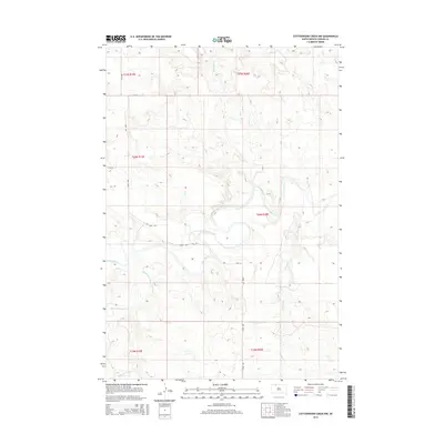
2015 Map of Cottonwood Creek NW
USGS Topo · Published 2015About this map
The Grand River carves a winding path through this northern South Dakota landscape, defining the local drainage patterns for several prominent tributaries. The river valley is joined by Cedar Boy Cr from the north and Meadow Cr from the south, creating a complex series of draws and ridges across the Rock Creek District. This 2015 survey illustrates a sparsely settled region of Corson County where the grid of public land roads, including 218th Ave and 119th St, provides the primary framework for movement between ranchlands. Further south, the terrain is shaped by Black Horse Butte Cr, illustrating the typical hydrology of the Great Plains where seasonal watercourses are vital landmarks for those tracing land use and family holdings in the T20N R20E township and its neighbors.
Find a feature on this map
15 named features on this map. Tap any name to fly to it.
Don’t see what you’re looking for? This feature index may not catch every label — zoom into the map to look around manually.
Map Details
Editions of this 2015 Cottonwood Creek NW Map
This is the sole edition of this map. No revisions or reprints were ever made.
Other maps of this area

1953 · McIntosh
USGS Topo · 1:250,000

1956 · Cottonwood Creek NE
USGS Topo · 1:24,000

1956 · Cottonwood Creek SE
USGS Topo · 1:24,000

1956 · Cottonwood Creek NW
USGS Topo · 1:24,000

1956 · Cottonwood Creek SW
USGS Topo · 1:24,000

1958 · McIntosh
USGS Topo · 1:250,000

1972 · Morristown SE
USGS Topo · 1:24,000

1972 · Skull Butte
USGS Topo · 1:24,000

1972 · Thunder Hawk SE
USGS Topo · 1:24,000

1972 · Twin Butte
USGS Topo · 1:24,000