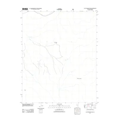
2012 Map of Cottonwood Pass
USGS Topo · Published 2012About this map
Cottonwood Pass serves as a central point of orientation for this desert landscape in southern Nevada, where high-elevation landmarks meet essential water sources. The terrain is defined by the Bird Spring Range to the east and the presence of Potosi Tower on the western edge. Given the arid environment, the mapping of scattered water points such as Ninetynine Spring, Aztec Tank, and Wilson Tank reveals the critical infrastructure relied upon by ranchers and travelers moving through these mountain gaps. This 2012 survey by the U.S. Geological Survey illustrates the relationship between the natural topography and the sparse human additions like transmission towers and access roads that characterize modern land use in this part of Clark County.
Find a feature on this map
6 named features on this map. Tap any name to fly to it.
Don’t see what you’re looking for? This feature index may not catch every label — zoom into the map to look around manually.
Map Details
Editions of this 2012 Cottonwood Pass Map
This is the sole edition of this map. No revisions or reprints were ever made.
Other maps of this area

1907 · Las Vegas
USGS Topo · 1:250,000

1908 · Las Vegas
USGS Topo · 1:250,000

1910 · Ivanpah
USGS Topo · 1:250,000

1912 · Ivanpah
USGS Topo · 1:250,000

1942 · Ivanpah
USGS Topo · 1:250,000

1947 · Kingman
USGS Topo · 1:250,000

1948 · Kingman
USGS Topo · 1:250,000

1952 · Blue Diamond
USGS Topo · 1:62,500

1954 · Las Vegas
USGS Topo · 1:250,000

1954 · Kingman
USGS Topo · 1:250,000