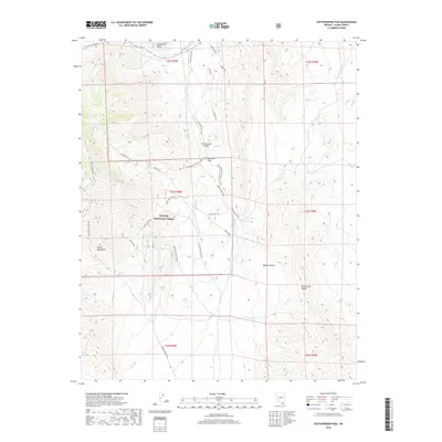
2018 Map of Cottonwood Pass
USGS Topo · Published 2018About this map
Toiyabe National Forest encompasses the high-elevation terrain of this southern Nevada landscape, where the Spring Mountains and Bird Spring Range overlook the expanse of the Mojave Desert. This 2018 survey documents a network of primitive access roads and trails that speak to the area's history of extraction and recreation, including Dawn Mine Road, Pauline Mine Rd, and Rainbow Quarry Rd. Essential water sources are scattered throughout the arid environment at Ninety-nine Spring, Aztec Tank, and Wilson Spring Wilson Tank. The topography is defined by significant landmarks such as Sandstone Bluff and the natural corridor of Cottonwood Pass, which provides passage through the mountains into Cottonwood Valley. Modern trails like 3 Mile Smile, Techno, and Dead Horse Loop reflect the contemporary use of these public lands within the forest boundary.
Find a feature on this map
34 named features on this map. Tap any name to fly to it.
Don’t see what you’re looking for? This feature index may not catch every label — zoom into the map to look around manually.
Map Details
Editions of this 2018 Cottonwood Pass Map
This is the sole edition of this map. No revisions or reprints were ever made.
Other maps of this area

1907 · Las Vegas
USGS Topo · 1:250,000

1908 · Las Vegas
USGS Topo · 1:250,000

1910 · Ivanpah
USGS Topo · 1:250,000

1912 · Ivanpah
USGS Topo · 1:250,000

1942 · Ivanpah
USGS Topo · 1:250,000

1947 · Kingman
USGS Topo · 1:250,000

1948 · Kingman
USGS Topo · 1:250,000

1952 · Blue Diamond
USGS Topo · 1:62,500

1954 · Las Vegas
USGS Topo · 1:250,000

1954 · Kingman
USGS Topo · 1:250,000