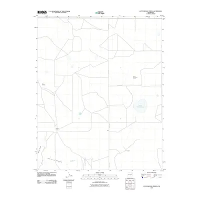
2010 Map of Cottonwood Springs
USGS Topo · Published 2010About this map
Maytum Cemetery stands as a quiet focal point for family history in this corner of Union County, reflecting the deep-rooted ranching heritage of northeast New Mexico. The landscape is defined by its intermittent water sources and dramatic terrain, where the Cejita de los Comancheros escarpment drops toward the Arroyo de la Cejita. These features, along with Cottonwood Springs, suggest the historical importance of water for travel and livestock in an arid environment.
Find a feature on this map
13 named features on this map. Tap any name to fly to it.
Don’t see what you’re looking for? This feature index may not catch every label — zoom into the map to look around manually.
Map Details
Editions of this 2010 Cottonwood Springs Map
This is the sole edition of this map. No revisions or reprints were ever made.
Other maps of this area

1954 · Tucumcari
USGS Topo · 1:250,000

1954 · Dalhart
USGS Topo · 1:250,000

1958 · Tucumcari
USGS Topo · 1:250,000

1958 · Dalhart
USGS Topo · 1:250,000

1962 · Dalhart
USGS Topo · 1:250,000

1966 · Skull Mesa
USGS Topo · 1:24,000

1966 · Pedernal Creek
USGS Topo · 1:24,000

1966 · Rosebud
USGS Topo · 1:24,000

1966 · Ione
USGS Topo · 1:24,000

1966 · Hayden
USGS Topo · 1:24,000