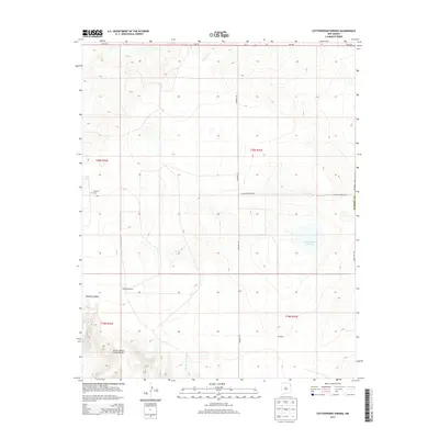
2013 Map of Cottonwood Springs
USGS Topo · Published 2013About this map
Whiteside Ranch and isolated outposts like Adee and Tompkins define this corner of Union County, reflecting a landscape shaped by ranching and scarce water sources. The topography is marked by the distinct Cejita de los Comancheros and the drainage of Bootleg Canyon, while the eponymous Cottonwood Springs serves as a vital geographic anchor in the southern portion of the quadrangle. High plains water features, including Laguna Tierra Amatosa, Bobby Lake, and Cone Lake, appear alongside seasonal drainages like Pedernal Cr. This 2013 survey provides a clear view of the rural road network, specifically Rosebud Rd and Antelope Springs Rd, which connect these remote holdings. For genealogists and local historians, the presence of the Maytum Cem near the western border offers a specific point of interest in an area characterized by its vast, open range.
Find a feature on this map
22 named features on this map. Tap any name to fly to it.
Don’t see what you’re looking for? This feature index may not catch every label — zoom into the map to look around manually.
Map Details
Editions of this 2013 Cottonwood Springs Map
This is the sole edition of this map. No revisions or reprints were ever made.
Other maps of this area

1954 · Tucumcari
USGS Topo · 1:250,000

1954 · Dalhart
USGS Topo · 1:250,000

1958 · Tucumcari
USGS Topo · 1:250,000

1958 · Dalhart
USGS Topo · 1:250,000

1962 · Dalhart
USGS Topo · 1:250,000

1966 · Skull Mesa
USGS Topo · 1:24,000

1966 · Pedernal Creek
USGS Topo · 1:24,000

1966 · Rosebud
USGS Topo · 1:24,000

1966 · Ione
USGS Topo · 1:24,000

1966 · Hayden
USGS Topo · 1:24,000