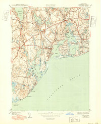
1943 Map of Cotuit
USGS Topo · Published 1949About this map
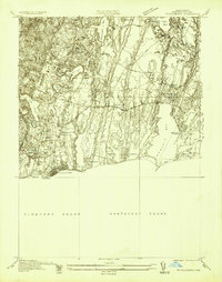
Mashpee and the surrounding coastal villages are depicted here during the mid-1940s, a period showing the established summer colonies and maritime character of southern Cape Cod. The landscape is defined by the complex interface of land and water, from the freshwater Mashpee Pond in the north to the intricate salt marshes and inlets of Popponesset Bay and Cotuit Bay. Cultural landmarks like the Old Indian Ch near Pine Tree Corner reflect the area's deep indigenous and colonial heritage, while Camp Cotuit and the Santuit Golf Course indicate the region's mid-century role as a seasonal retreat. The shoreline is punctuated by notable features such as Grand Island and the barrier beach of Dead Neck. Local infrastructure is represented by a dense network of routes like Old Post Road and Newtown Road, connecting the inland hamlets of Marstons Mills and Santuit to the seaside settlement of Osterville.
Find a feature on this map
102 named features on this map. Tap any name to fly to it.
Don’t see what you’re looking for? This feature index may not catch every label — zoom into the map to look around manually.
Map Details
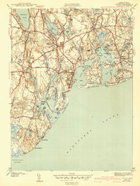
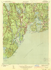
Editions of this 1943 Cotuit Map
3 editions found
Other maps of this area

1886 · Falmouth
USGS Topo · 1:62,500

1888 · Barnstable
USGS Topo · 1:62,500

1888 · Falmouth
USGS Topo · 1:62,500

1893 · Barnstable
USGS Topo · 1:62,500

1893 · Falmouth
USGS Topo · 1:62,500

1915 · Falmouth
USGS Topo · 1:62,500

1920 · Falmouth
USGS Topo · 1:62,500
1935 · Pocasset
USGS Topo · 1:20,000
1936 · Falmouth
USGS Topo · 1:25,000

1938 · Sandwich
USGS Topo · 1:31,680