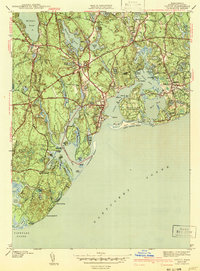
1943 Map of Cotuit
USGS Topo · Published 1943About this map
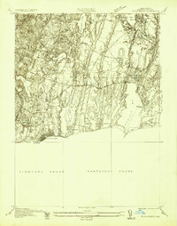
Mashpee and Cotuit anchor this coastal landscape during the early 1940s, a period when the inland ponds and southern shoreline of Cape Cod supported small, distinct village centers. The region is defined by a dense network of freshwater bodies such as Mashpee Pond and Santuit Pond, which contrast with the complex marine geography of Cotuit Bay and West Bay. Local genealogy and land use are well-documented through features like Marstons Mills Cem and Moss Wood Cem, alongside civic landmarks such as St Marys church. The map illustrates the era's recreational and social hubs, including the Santuit Golf Course and the developed estates of Grand Island (Oyster Harbors). Surveyed just before the mid-century, the sheet captures the established road system including Old Post Road and Falmouth Road, linking established settlements like Marstons Mills and Osterville.
Find a feature on this map
97 named features on this map. Tap any name to fly to it.
Don’t see what you’re looking for? This feature index may not catch every label — zoom into the map to look around manually.
Map Details
Editions of this 1943 Cotuit Map
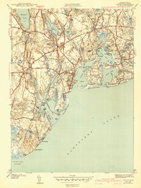
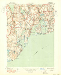
3 editions found
Other maps of this area

1886 · Falmouth
USGS Topo · 1:62,500

1888 · Barnstable
USGS Topo · 1:62,500

1888 · Falmouth
USGS Topo · 1:62,500

1893 · Barnstable
USGS Topo · 1:62,500

1893 · Falmouth
USGS Topo · 1:62,500

1915 · Falmouth
USGS Topo · 1:62,500

1920 · Falmouth
USGS Topo · 1:62,500
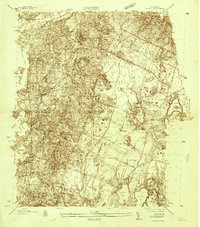
1935 · Pocasset
USGS Topo · 1:20,000
1936 · Falmouth
USGS Topo · 1:25,000

1938 · Sandwich
USGS Topo · 1:31,680