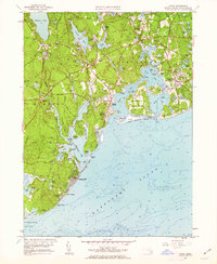
1961 Map of Cotuit
USGS Topo · Published 1963About this map
The coastal village of Cotuit and the surrounding villages of Santuit and Osterville are defined by an intricate network of bays and inlets along the Nantucket Sound. This early 1960s landscape shows the transition from a traditional maritime and agricultural economy to a residential and recreational hub. Numerous Cranberry Bogs are interspersed among the ponds and woodlands, highlighting the regional importance of cranberry cultivation. Significant landmarks for local history include the Old Indian Ch and several burial grounds like Marstons Mills Cem and Mosswood Cem. The map captures the shoreline before extensive modern development, detailing natural features such as Grand Island and Sampsons Island alongside established neighborhoods like Wianno and Cotuit Highlands. From the Mashpee River to the complex waterways of North Bay and West Bay, the terrain reflects a deeply rooted Cape Cod community shaped by its proximity to the water.
Find a feature on this map
100 named features on this map. Tap any name to fly to it.
Don’t see what you’re looking for? This feature index may not catch every label — zoom into the map to look around manually.
Map Details
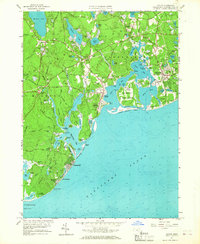
Editions of this 1961 Cotuit Map
2 editions found
Other maps of this area

1886 · Falmouth
USGS Topo · 1:62,500

1888 · Barnstable
USGS Topo · 1:62,500

1888 · Falmouth
USGS Topo · 1:62,500

1893 · Barnstable
USGS Topo · 1:62,500

1893 · Falmouth
USGS Topo · 1:62,500

1915 · Falmouth
USGS Topo · 1:62,500

1920 · Falmouth
USGS Topo · 1:62,500
1935 · Pocasset
USGS Topo · 1:20,000
1936 · Falmouth
USGS Topo · 1:25,000

1938 · Sandwich
USGS Topo · 1:31,680