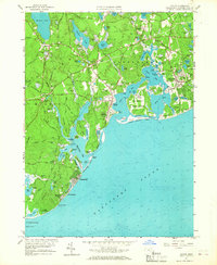
1961 Map of Cotuit
USGS Topo · Published 1967About this map
Cranberry Bogs define the agricultural interior of the Cape in the early 1960s, surrounding freshwater bodies like Santuit Pond and Lovells Pond. The landscape is a complex network of coastal inlets and protected waters, from the developed Oyster Harbors to the natural stretches of Popponesset Beach. Genealogical interest is anchored by several historic burial sites, including the Old Indian Ch Cem and the Old Indian Ch near Pine Tree Corner. The transition from rural cranberry cultivation to seaside residential expansion is evident in settlements like Cotuit Highlands, Osterville, and the planned layout of Maushop Village. Navigational features such as the Seapuit River and various points like Bluff Point and Ryefield Point illustrate the intricate relationship between the land and Nantucket Sound.
Find a feature on this map
104 named features on this map. Tap any name to fly to it.
Don’t see what you’re looking for? This feature index may not catch every label — zoom into the map to look around manually.
Map Details
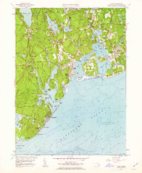
Editions of this 1961 Cotuit Map
2 editions found
Other maps of this area

1886 · Falmouth
USGS Topo · 1:62,500

1888 · Barnstable
USGS Topo · 1:62,500

1888 · Falmouth
USGS Topo · 1:62,500

1893 · Barnstable
USGS Topo · 1:62,500

1893 · Falmouth
USGS Topo · 1:62,500

1915 · Falmouth
USGS Topo · 1:62,500

1920 · Falmouth
USGS Topo · 1:62,500
1935 · Pocasset
USGS Topo · 1:20,000
1936 · Falmouth
USGS Topo · 1:25,000

1938 · Sandwich
USGS Topo · 1:31,680