Loading...
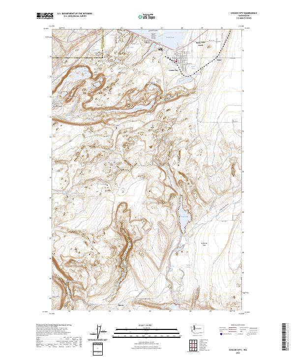
Loading map...2023 Map of Coulee City
USGS Topo · Published 2023About this map
Coulee City serves as the hub of this Grant County landscape, positioned at the southern tip of Banks Lake. The geography is defined by the massive basaltic scars of the Grand Coulee, featuring the dramatic drop of Dry Falls and the monolith of Umatilla Rock. These prehistoric features are paired with 20th-century water management infrastructure, most notably the Main Canal which snakes southward toward Bacon.
Find a feature on this map
69 named features on this map. Tap any name to fly to it.
Don’t see what you’re looking for? This feature index may not catch every label — zoom into the map to look around manually.
Map Details
Date Portrayed2023
Date Published2023
PublisherU.S. Geological Survey
Map TypeTopographic
Scale1:24,000
Physical Dimensions24 x 29 inches
Editions of this 2023 Coulee City Map
This is the sole edition of this map. No revisions or reprints were ever made.
Historical Maps of Douglas County Through Time
Featured Locations
Source Details
SourceU.S. Geological Survey
CopyrightPublic Domain