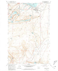
1965 Map of Coulee City
USGS Topo · Published 1981About this map
Coulee City sits at the junction of massive water management projects and geological wonders in this mid-1960s survey. The landscape is dominated by the Grand Coulee, featuring the spectacular Dry Falls and the carved basins of Sun Lakes State Park. The transition from the natural coulees to modern irrigation is evident in the Main Canal leading south toward Summer Falls and Billy Clapp Lake. While the Northern Pacific railroad serves the grain elevators at Odair, the map also captures a wealth of smaller springs and draws named by early inhabitants, such as Delany Spring and Don Paul Draw. These features reflect a history of cattle ranching and early settlement in a region transformed by the Dry Falls Dam and the creation of Banks Lake.
Find a feature on this map
60 named features on this map. Tap any name to fly to it.
Don’t see what you’re looking for? This feature index may not catch every label — zoom into the map to look around manually.
Map Details
Editions of this 1965 Coulee City Map
3 editions found

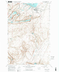
Other maps of this area

1930 · Grand Coulee Sheet 3
USGS Topo · 1:31,680

1953 · Ritzville
USGS Topo · 1:250,000

1956 · Stratford
USGS Topo · 1:24,000

1956 · Wilson Creek NW
USGS Topo · 1:24,000

1956 · Soap Lake
USGS Topo · 1:24,000

1956 · Wilson Creek
USGS Topo · 1:62,500

1959 · Ritzville
USGS Topo · 1:250,000

1965 · Ritzville
USGS Topo · 1:250,000

1965 · St. Andrews
USGS Topo · 1:24,000

1965 · Mold
USGS Topo · 1:24,000