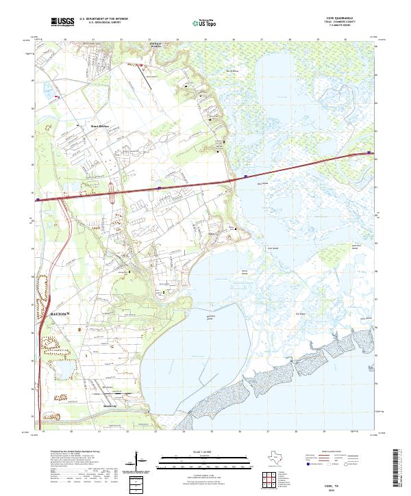
2022 Map of Cove
USGS Topo · Published 2022About this map
Old River-Winfree and Cove occupy a complex marshland landscape where the Trinity River delta meets the upper reaches of Trinity Bay. This modern survey illustrates the dense network of bayous and islands that define the coastal prairie, including Mustang Island and Horse Island. The area is notably rich in family-named burial sites, such as the Griffith Icet Cem and William Icet Cem, reflecting the deep-rooted settlement history of Chambers County. To the west, the expansion of Mont Belvieu and the industrial edges of Baytown contrast with the labyrinthine waterways of Lost Lake and Round Lake. The map details how residential development near Beach City and Old River-Winfree navigates the tidal inlets of Cotton Bayou and Dutton Lake, showing a community inextricably linked to its aquatic environment.
Find a feature on this map
133 named features on this map. Tap any name to fly to it.
Don’t see what you’re looking for? This feature index may not catch every label — zoom into the map to look around manually.
Map Details
Editions of this 2022 Cove Map
This is the sole edition of this map. No revisions or reprints were ever made.
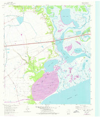
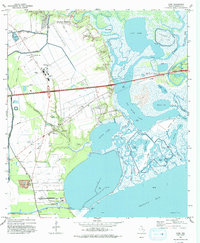
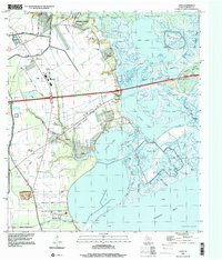
Historical Maps of Mont Belvieu Through Time
4 maps found