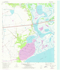
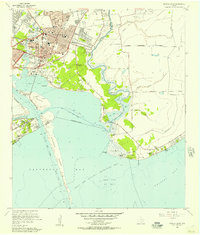
1961 Map of Cove
USGS Topo · Published 1977About this map
Cove and Winfree sit at the edge of a shifting landscape where the Trinity River meets Trinity Bay. This 1961 survey, updated with 1974 aerial revisions, reveals the complex water systems and industrial infrastructure that defined Chambers County mid-century. The map is particularly rich for genealogical research, documenting numerous family-named burial grounds including Icet Cem, Tilton Cem, and Montgomery Cem, alongside community anchors like St Emily Ch and Winfree Sch.
Find a feature on this map
62 named features on this map. Tap any name to fly to it.
Don’t see what you’re looking for? This feature index may not catch every label — zoom into the map to look around manually.
Map Details
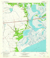
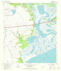
Editions of this 1961 Cove Map
Other maps of this area

1916 · Morgan Point
USGS Topo · 1:24,000

1916 · Cedar Bayou
USGS Topo · 1:24,000

1919 · Morgan Point
USGS Topo · 1:31,680

1919 · Cedar Bayou
USGS Topo · 1:31,680

1942 · Anahuac
USGS Topo · 1:24,000

1943 · West of Eagle
USGS Topo · 1:31,680
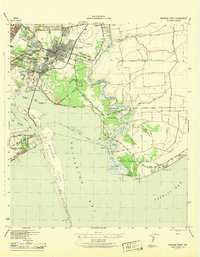
1943 · Morgan Point
USGS Topo · 1:31,680

1943 · Cedar Bayou
USGS Topo · 1:24,000

1950 · Houston
USGS Topo · 1:250,000
1956 · Morgan Point
USGS Topo · 1:24,000