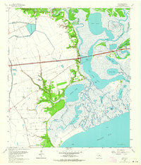
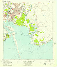
1961 Map of Cove
USGS Topo · Published 1964About this map
Industrial petroleum extraction and a complex labyrinth of bayous characterize this 1961 coastal landscape where the Trinity River meets Trinity Bay. The map documents a pivotal moment in the region’s development as Interstate 10 cuts a modern path across the marshlands, bypassing older local hubs like Winfree and Cove. Historically significant sites for genealogists include Montgomery Cem and Icet Cem, along with St Emily Ch and the Winfree Sch, providing a clear record of early community centers.
Find a feature on this map
56 named features on this map. Tap any name to fly to it.
Don’t see what you’re looking for? This feature index may not catch every label — zoom into the map to look around manually.
Map Details
Editions of this 1961 Cove Map
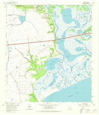
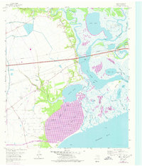
Other maps of this area

1916 · Morgan Point
USGS Topo · 1:24,000

1916 · Cedar Bayou
USGS Topo · 1:24,000

1919 · Morgan Point
USGS Topo · 1:31,680

1919 · Cedar Bayou
USGS Topo · 1:31,680

1942 · Anahuac
USGS Topo · 1:24,000

1943 · West of Eagle
USGS Topo · 1:31,680
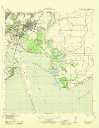
1943 · Morgan Point
USGS Topo · 1:31,680

1943 · Cedar Bayou
USGS Topo · 1:24,000

1950 · Houston
USGS Topo · 1:250,000
1956 · Morgan Point
USGS Topo · 1:24,000