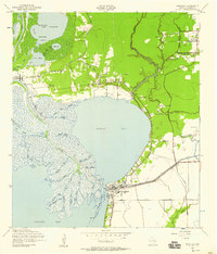
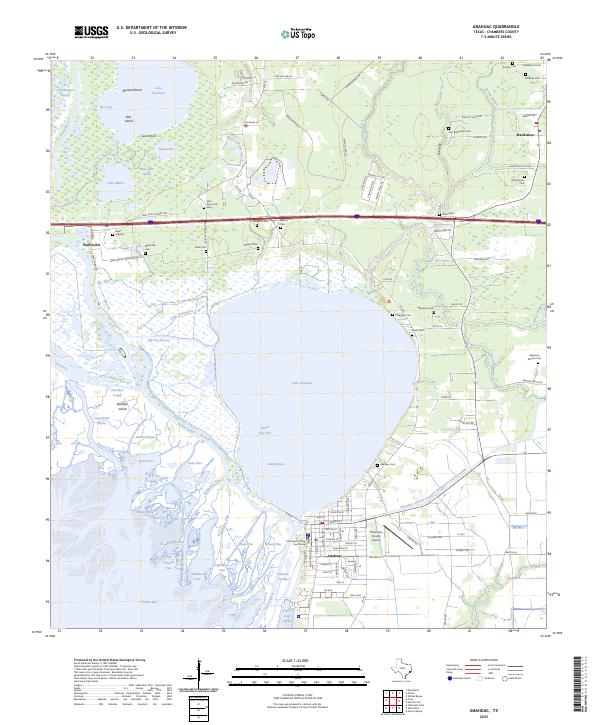
1942 Map of Anahuac
USGS Topo · Published 1958About this map
Anahuac serves as the focal point of this 1942 survey, situated where the Anahuac Channel meets the mouth of the Trinity River. The map captures a coastal landscape defined by the expansive waters of Turtle Bay and a complex network of marshy bayous, including Hog Island Bayou and Smith Bayou. At the southern edge of town, the site of Old Fort Anahuac marks a significant historical landmark overlooking Trinity Bay.
Find a feature on this map
54 named features on this map. Tap any name to fly to it.
Don’t see what you’re looking for? This feature index may not catch every label — zoom into the map to look around manually.
Map Details
Editions of this 1942 Anahuac Map
This is the sole edition of this map. No revisions or reprints were ever made.
Historical Maps of Anahuac Through Time
10 maps found
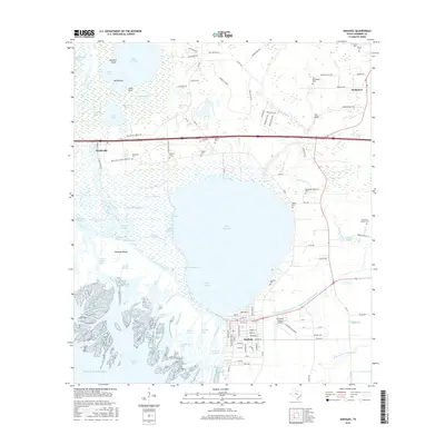
1942 Anahuac
Chambers County, TX
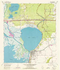
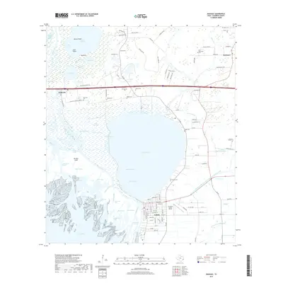
1961 Anahuac
Chambers County, TX

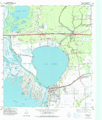
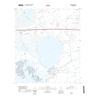
1983 Anahuac
Chambers County, TX
1993 Anahuac
Chambers County, TX

2010 Anahuac
Chambers County, TX
2013 Anahuac
Chambers County, TX
2016 Anahuac
Chambers County, TX
2019 Anahuac
Chambers County, TX
2022 Anahuac
Chambers County, TX
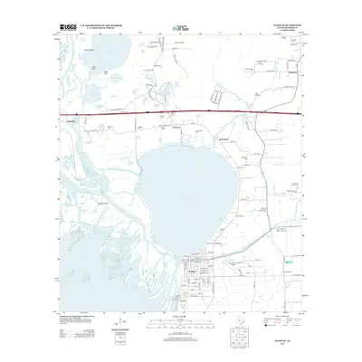
2025 Anahuac
Chambers County, TX